Transport Functions
Port
Hub Profile
Place type
Populated place
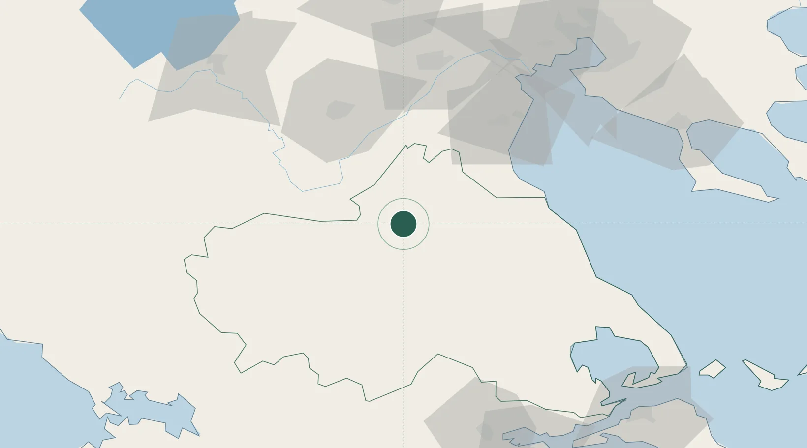
Region
Thessaly
Time zone
Europe/Athens
Elevation
179 m
Location
Nearby Logistics Neighbours
Cities
- 1Melía52 km
- 2Moscháton61 km
- 3Kateríni61 km
- 4Agiokampos Larissas70 km
- 5Eginion85 km
Ports
- 1Volos90 km
- 2Tsingeli98 km
- 3Thessaloniki116 km
- 4Achladi120 km
- 5Yerakini128 km
Airports
Trade Zones
- 1Free Zone of Thessaloniki116 km
- 2Korçë Freezone142 km
- 3Përmet Freezone154 km
- 4TIDZ Gevgelija157 km
- 5Gjirokastër Freezone166 km
DatabookThe Record of Consolidated Knowledge
Greece beyond logistics?