Transport Functions
Port
Road
Hub Profile
Place type
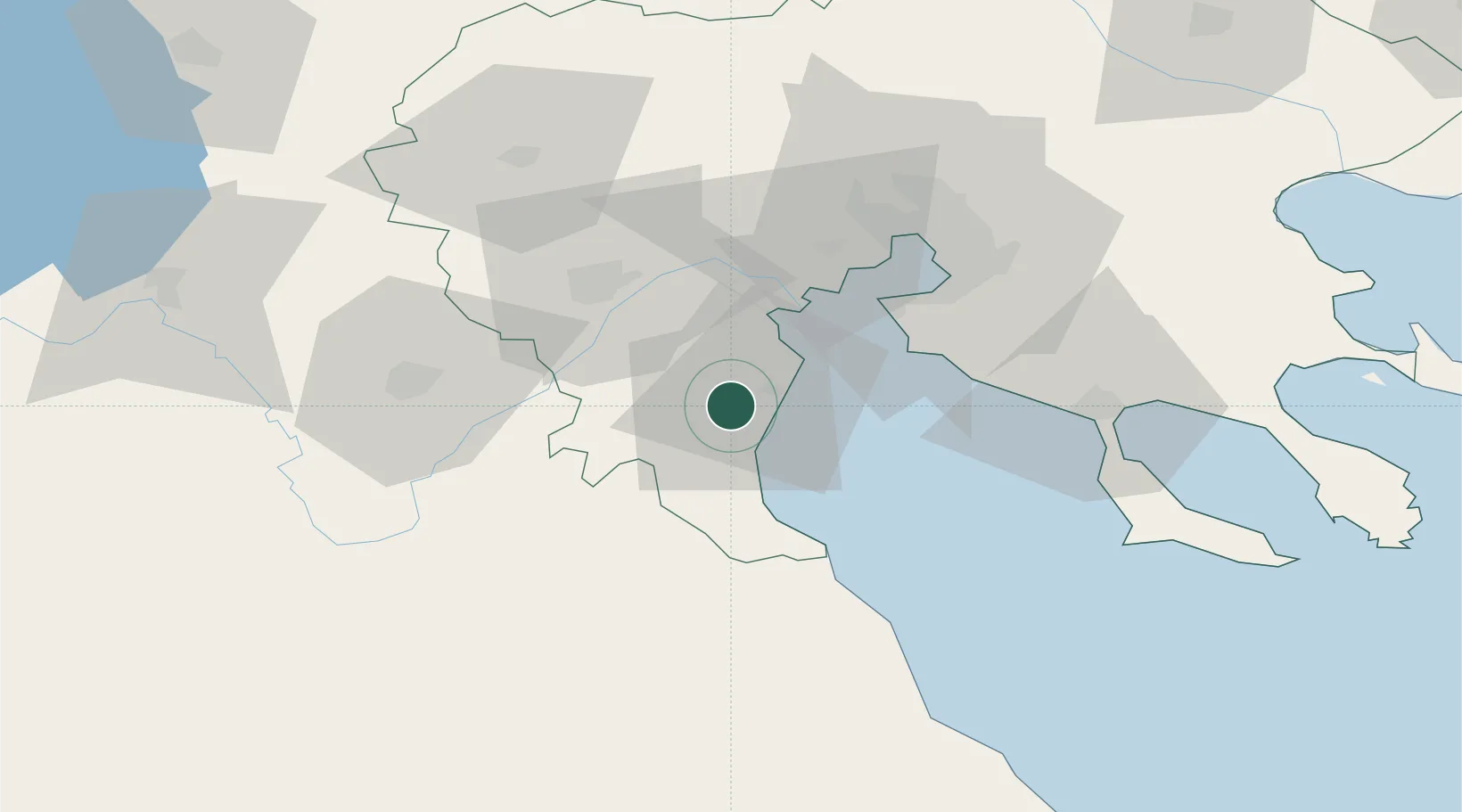
Provincial seat
Region
Central Macedonia
Population
53,293
Time zone
Europe/Athens
Elevation
40 m
Location
Nearby Logistics Neighbours
Cities
- 1Eginion25 km
- 2Platy41 km
- 3Perea43 km
- 4Áhdendron45 km
- 5Néa Kallikrátia48 km
Ports
- 1Thessaloniki55 km
- 2Yerakini82 km
- 3Volos107 km
- 4Stratoni116 km
- 5Tsingeli126 km
Airports
Trade Zones
- 1Free Zone of Thessaloniki54 km
- 2TIDZ Gevgelija103 km
- 3TIDZ Strumica126 km
- 4TIDZ Prilep141 km
- 5Korçë Freezone150 km
DatabookThe Record of Consolidated Knowledge
Greece beyond logistics?