Transport Functions
Port
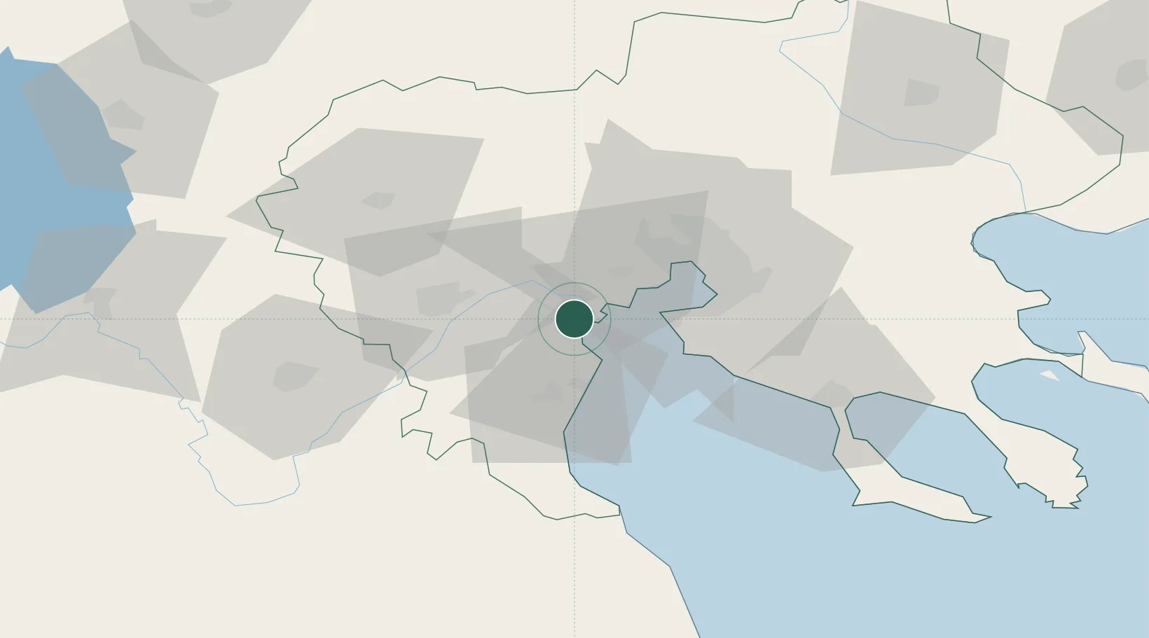
Location
Nearby Logistics Neighbours
Ports
- 1Thessaloniki34 km
- 2Yerakini79 km
- 3Stratoni106 km
- 4Volos128 km
- 5Tsingeli148 km
Airports
Trade Zones
- 1Free Zone of Thessaloniki33 km
- 2TIDZ Gevgelija80 km
- 3TIDZ Strumica101 km
- 4TIDZ Prilep127 km
- 5TIDZ Radoviš128 km
DatabookThe Record of Consolidated Knowledge
Greece beyond logistics?