UN/LOCODE hub · Greece
GRMOS

Moscháton

39.3167°, 21.8000°
2
Transport functions

Transport Functions

Road
Multimodal
UN/LOCODE

Hub Profile

Region
41
GeoNames

Location

Location of GRMOS
Natural Earth 10m (public domain) · 41 · GRMOS · 39.32, 21.80GoogleOSMYandex

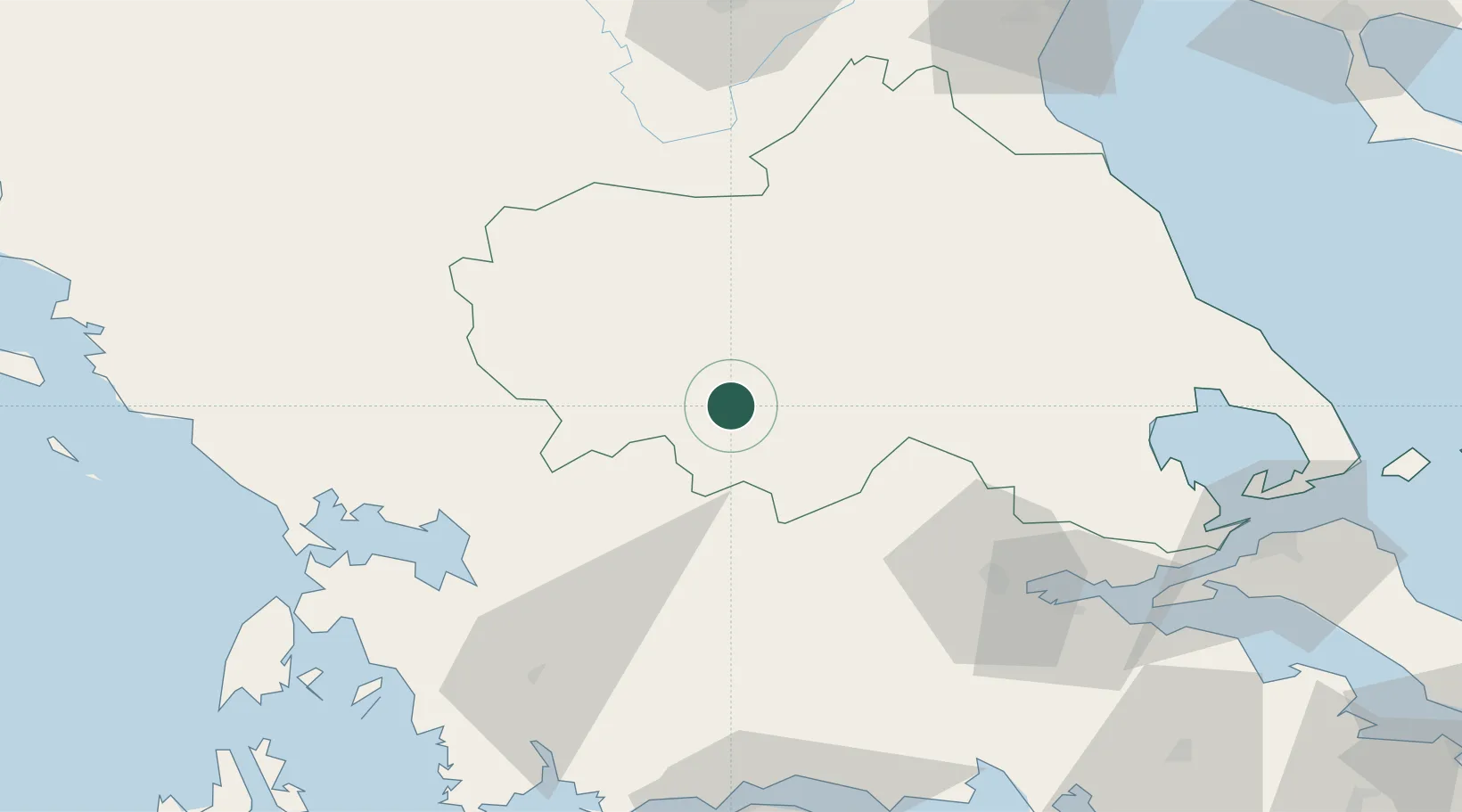
Nearby Logistics Neighbours

Cities
  1. 1Magoúla61 km
  2. 2Menidi67 km
  3. 3Ágioi Anárgyroi71 km
  4. 4Amfilochía74 km
  5. 5Melía74 km
Nearest neighbours — logibook spatial index (haversine) over the source coordinates
Ports
  1. 1Tsingeli92 km
  2. 2Volos99 km
  3. 3Achladi99 km
  4. 4Preveza99 km
  5. 5Astakos111 km
Nearest neighbours — logibook spatial index (haversine) over the source coordinates
Airports
  1. 1Nea Anchialos National Airport86 km
  2. 2Ioannina King Pyrrhus National Airport94 km
  3. 3Aktion National Airport99 km
  4. 4Kozani National Airport Filippos108 km
  5. 5Kastoria National Airport Aristotle133 km
Nearest neighbours — logibook spatial index (haversine) over the source coordinates
Trade Zones
  1. 1Free Zone of Platigiali (Astakos Etoloakarnanias)111 km
  2. 2Përmet Freezone161 km
  3. 3Gjirokastër Freezone163 km
  4. 4Korçë Freezone170 km
  5. 5Free Zone of Thessaloniki175 km
Nearest neighbours — logibook spatial index (haversine) over the source coordinates
DatabookThe Record of Consolidated Knowledge
Greece beyond logistics?
Browse databook

All Sources

LocationsUN/LOCODE
UN/LOCODE — free
Portsthe NGA World Port Index
Public domain (US gov)
AirportsOurAirports
Public domain
Trade Zonesthe World Bank SEZ database
CC BY 4.0
Trade ZonesOpen Zone Map
CC BY
← Greece locations