Transport Functions
Port
Hub Profile
Place type
District seat
Region
Central Greece
Population
2,072
Time zone
Europe/Athens
Elevation
27 m
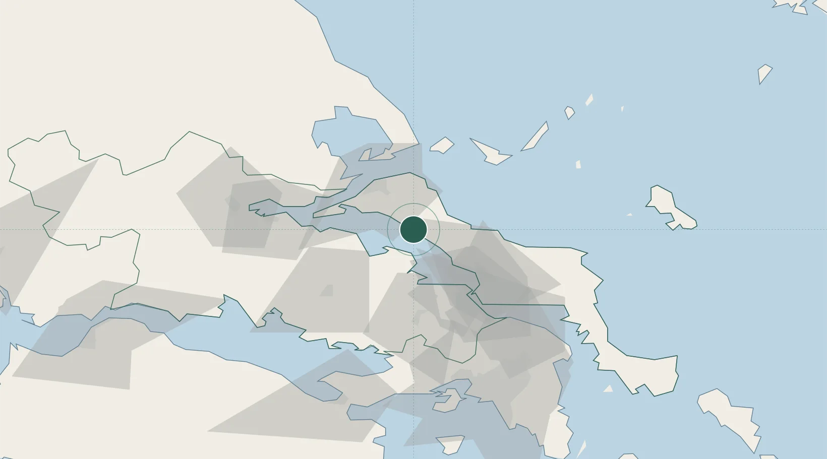
Location
Nearby Logistics Neighbours
Ports
- 1Kymassi15 km
- 2Achladi46 km
- 3Tsingeli60 km
- 4Volos74 km
- 5Ormos Aliveriou77 km
Airports
- 1Skiathos Island National Airport48 km
- 2Tanagra Air Base52 km
- 3Nea Anchialos National Airport68 km
- 4Elefsis Air Base81 km
- 5Skiros Airport104 km
Trade Zones
- 1Free Zone of Piraeus95 km
- 2Free Zone of Platigiali (Astakos Etoloakarnanias)195 km
- 3Free Zone of Thessaloniki211 km
- 4TIDZ Gevgelija279 km
- 5TIDZ Strumica296 km
DatabookThe Record of Consolidated Knowledge
Greece beyond logistics?