Transport Functions
Multimodal
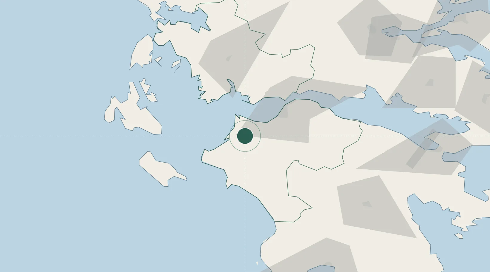
Hub Profile
Place type
Populated place
Region
West Greece
Population
494
Time zone
Europe/Athens
Elevation
96 m
Location
Nearby Logistics Neighbours
Cities
- 1Káto Akhaía13 km
- 2Káto Achaïa14 km
- 3Araxos18 km
- 4Kyllíni29 km
- 5Killíni31 km
Ports
- 1Patrai33 km
- 2Mesolongion35 km
- 3Katakolon46 km
- 4Astakos57 km
- 5Aigio60 km
Airports
Trade Zones
- 1Free Zone of Platigiali (Astakos Etoloakarnanias)57 km
- 2Free Zone of Piraeus190 km
- 3Gjirokastër Freezone250 km
- 4Përmet Freezone261 km
- 5Korçë Freezone293 km
DatabookThe Record of Consolidated Knowledge
Greece beyond logistics?