Transport Functions
Port
Hub Profile
Place type
Populated place
Region
West Greece
Population
1,079
Time zone
Europe/Athens
Elevation
1 m
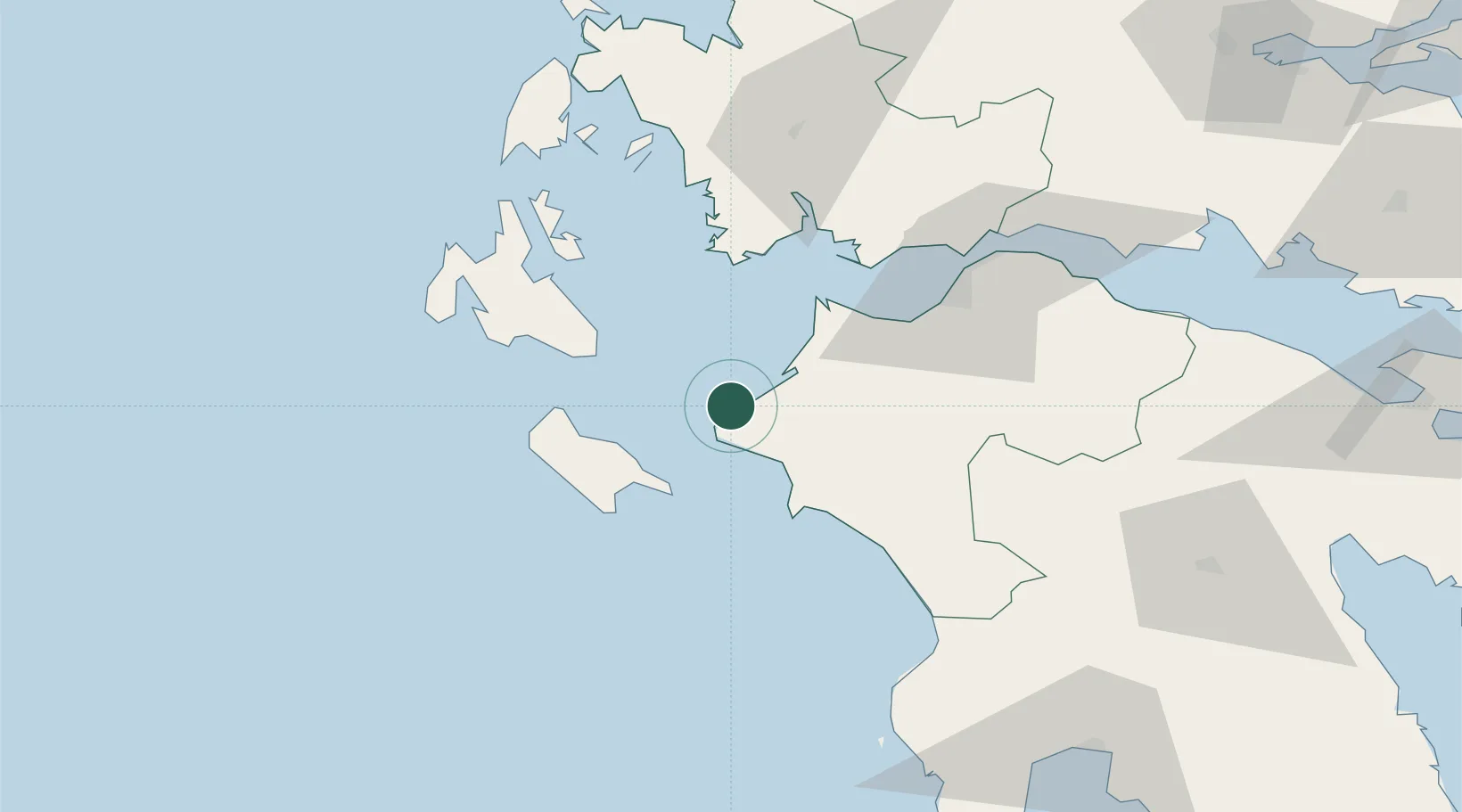
Location
Nearby Logistics Neighbours
Ports
- 1Katakolon35 km
- 2Mesolongion54 km
- 3Astakos61 km
- 4Patrai62 km
- 5Argostolion62 km
Airports
Trade Zones
- 1Free Zone of Platigiali (Astakos Etoloakarnanias)61 km
- 2Free Zone of Piraeus216 km
- 3Gjirokastër Freezone252 km
- 4Përmet Freezone266 km
- 5Korçë Freezone302 km
DatabookThe Record of Consolidated Knowledge
Greece beyond logistics?