Transport Functions
Rail
Road
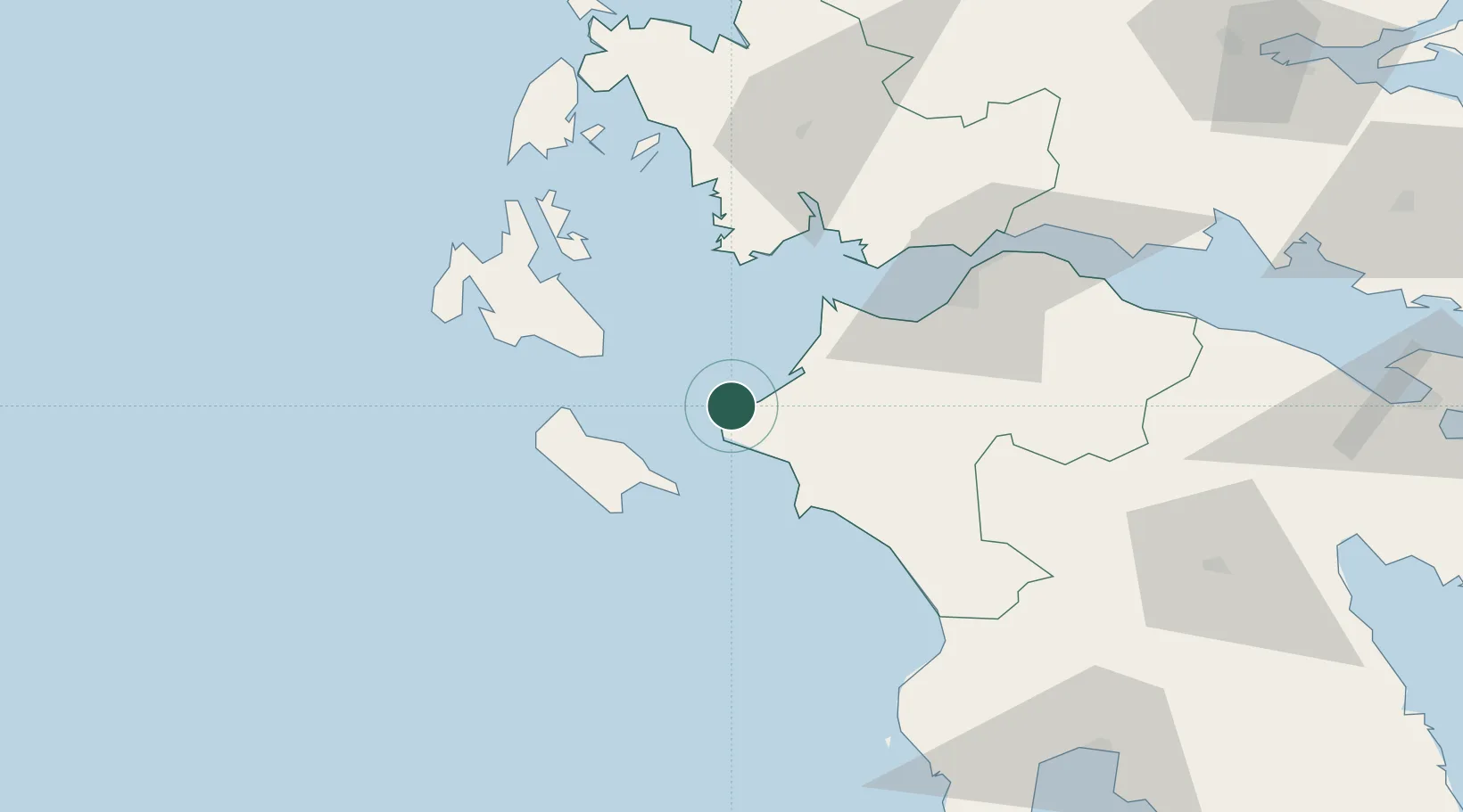
Location
Nearby Logistics Neighbours
Ports
- 1Katakolon35 km
- 2Mesolongion54 km
- 3Argostolion61 km
- 4Astakos61 km
- 5Patrai63 km
Airports
Trade Zones
- 1Free Zone of Platigiali (Astakos Etoloakarnanias)61 km
- 2Free Zone of Piraeus217 km
- 3Gjirokastër Freezone252 km
- 4Përmet Freezone265 km
- 5Korçë Freezone302 km
DatabookThe Record of Consolidated Knowledge
Greece beyond logistics?