UN/LOCODE hub · Greece
GRZTH

Zákynthos

37.7833°, 20.9000°
11,541
Population
2
Transport functions

Transport Functions

Port
Airport
UN/LOCODE

Hub Profile

Place type
Provincial seat
GeoNames
Region
Ionian Islands
GeoNames
Population
11,541
GeoNames
Time zone
Europe/Athens
GeoNames
Elevation
8 m
GeoNames

Location

Location of GRZTH
Natural Earth 10m (public domain) · Ionian Islands · GRZTH · 37.78, 20.90GoogleOSMYandex

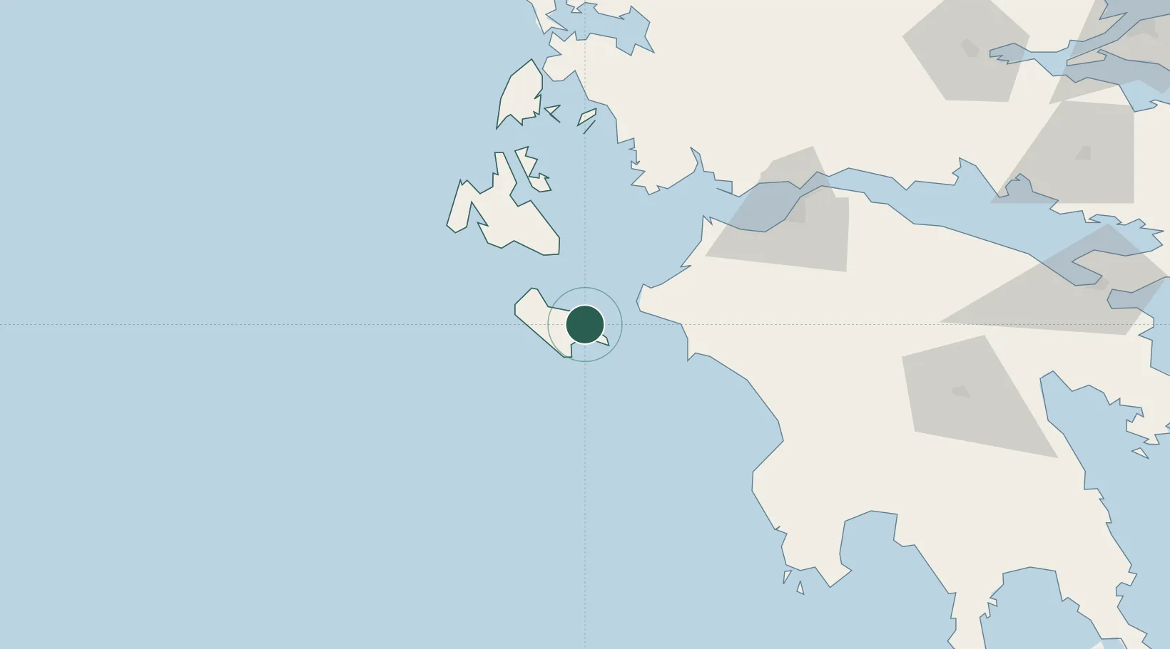
Nearby Logistics Neighbours

Cities
  1. 1Shinari Zakynthou22 km
  2. 2Killíni26 km
  3. 3Kyllíni28 km
  4. 4Skafidia39 km
  5. 5Katakolon40 km
Nearest neighbours — logibook spatial index (haversine) over the source coordinates
Ports
  1. 1Katakolon40 km
  2. 2Argostolion56 km
  3. 3Mesolongion79 km
  4. 4Astakos80 km
  5. 5Patrai90 km
Nearest neighbours — logibook spatial index (haversine) over the source coordinates
Airports
  1. 1Zakynthos International Airport Dionysios Solomos4 km
  2. 2Andravida Air Base38 km
  3. 3Kefallinia Airport51 km
  4. 4Patras Araxos Agamemnon Airport62 km
  5. 5Kalamata Airport127 km
Nearest neighbours — logibook spatial index (haversine) over the source coordinates
Trade Zones
  1. 1Free Zone of Platigiali (Astakos Etoloakarnanias)79 km
  2. 2Free Zone of Piraeus239 km
  3. 3Gjirokastër Freezone262 km
  4. 4Përmet Freezone277 km
  5. 5Korçë Freezone318 km
Nearest neighbours — logibook spatial index (haversine) over the source coordinates
DatabookThe Record of Consolidated Knowledge
Greece beyond logistics?
Browse databook

All Sources

LocationsUN/LOCODE
UN/LOCODE — free
LocationsGeoNames
CC BY 4.0
Portsthe NGA World Port Index
Public domain (US gov)
AirportsOurAirports
Public domain
Trade Zonesthe World Bank SEZ database
CC BY 4.0
Trade ZonesOpen Zone Map
CC BY
← Greece locations