Transport Functions
Port
Road
Hub Profile
Place type
District seat
Region
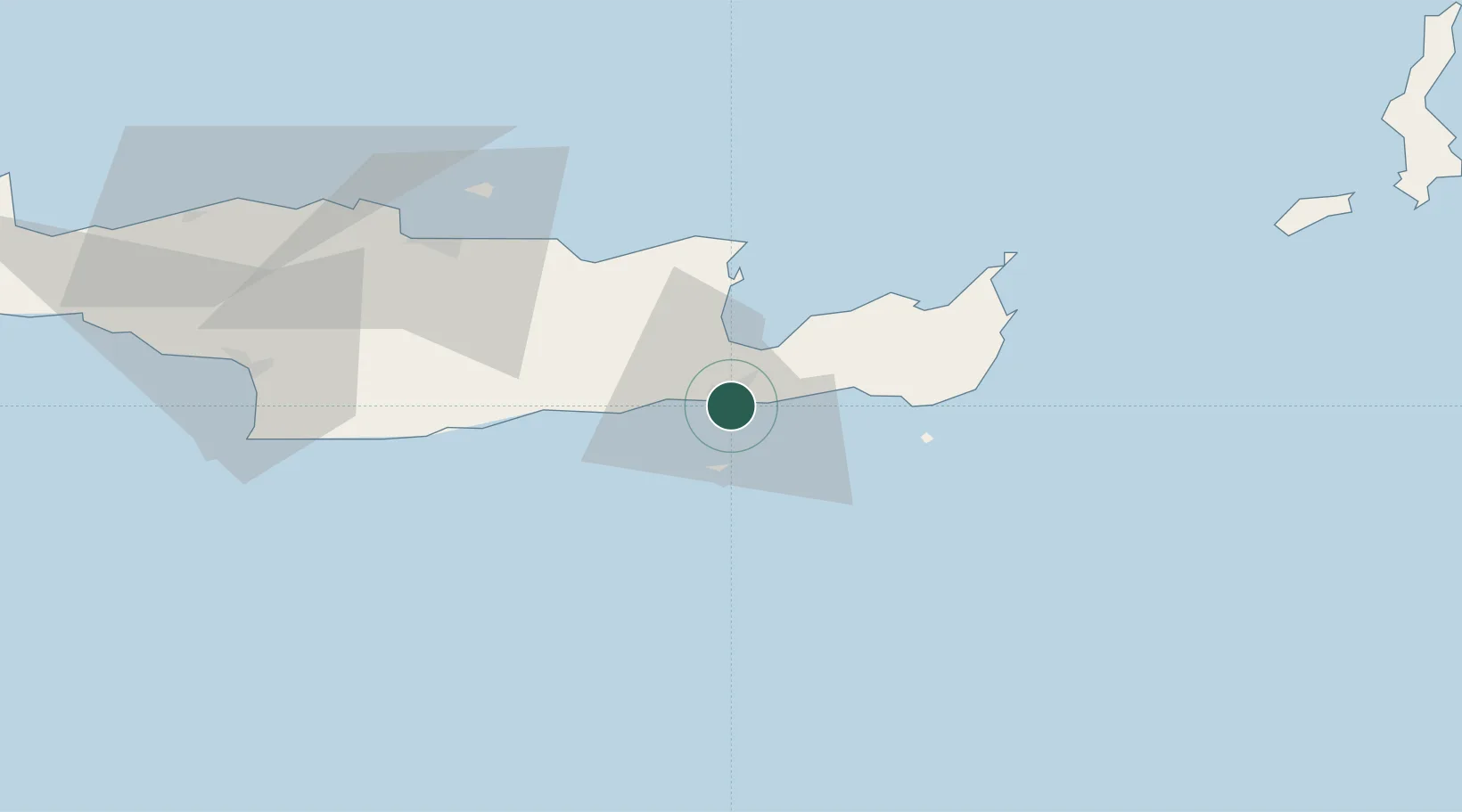
Crete
Population
12,355
Time zone
Europe/Athens
Elevation
9 m
Location
Nearby Logistics Neighbours
Cities
- 1Agios Nikólaos, Kríti20 km
- 2Makriyialos22 km
- 3Altsi23 km
- 4Atherinolakos Ierapetras36 km
- 5Malia40 km
Ports
- 1Ayios Nikolaos22 km
- 2Sitia44 km
- 3Iraklion66 km
- 4Kali Limenes82 km
- 5Rethimnon122 km
Airports
Trade Zones
- 1Free Zone of Heraklion63 km
- 2Tobruk Free Zone368 km
- 3Free Zone of Piraeus379 km
- 4Tire Organized Industrial Zone389 km
- 5Aegean Free Zone391 km
DatabookThe Record of Consolidated Knowledge
Greece beyond logistics?