UN/LOCODE hub · Greece
GRATL

Atherinolakos Ierapetras

35.0000°, 26.1333°
1
Transport functions

Transport Functions

Port
UN/LOCODE

Hub Profile

Region
M
GeoNames

Location

Location of GRATL
Natural Earth 10m (public domain) · M · GRATL · 35.00, 26.13GoogleOSMYandex

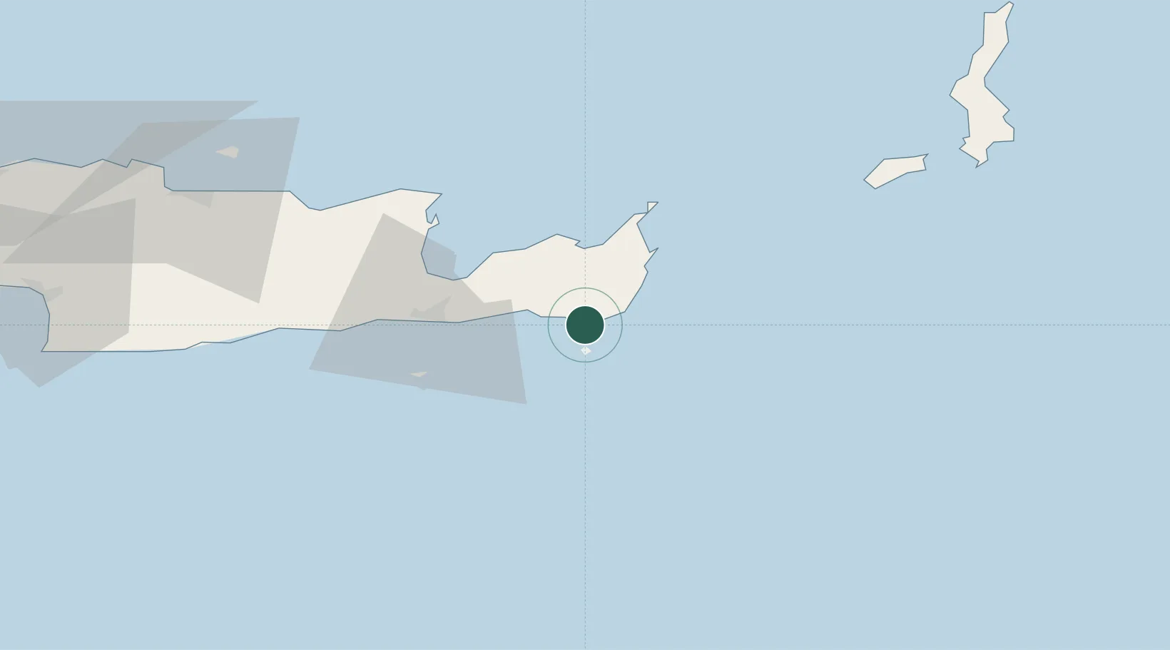
Nearby Logistics Neighbours

Cities
  1. 1Makriyialos16 km
  2. 2Siteía22 km
  3. 3Altsi29 km
  4. 4Ierápetra36 km
  5. 5Agios Nikólaos, Kríti43 km
Nearest neighbours — logibook spatial index (haversine) over the source coordinates
Ports
  1. 1Sitia24 km
  2. 2Ayios Nikolaos44 km
  3. 3Iraklion98 km
  4. 4Kali Limenes119 km
  5. 5Rethimnon157 km
Nearest neighbours — logibook spatial index (haversine) over the source coordinates
Airports
  1. 1Sitia Airport24 km
  2. 2(Duplicate)Kasteli Hellenic Air Force Base76 km
  3. 3Kasos Airport85 km
  4. 4Heraklion International Nikos Kazantzakis Airport95 km
  5. 5Karpathos Airport103 km
Nearest neighbours — logibook spatial index (haversine) over the source coordinates
Trade Zones
  1. 1Free Zone of Heraklion98 km
  2. 2Tire Organized Industrial Zone374 km
  3. 3Aegean Free Zone382 km
  4. 4Tobruk Free Zone386 km
  5. 5Izmir Ataturk Organized Industrial Zone396 km
Nearest neighbours — logibook spatial index (haversine) over the source coordinates
DatabookThe Record of Consolidated Knowledge
Greece beyond logistics?
Browse databook

All Sources

LocationsUN/LOCODE
UN/LOCODE — free
Portsthe NGA World Port Index
Public domain (US gov)
AirportsOurAirports
Public domain
Trade Zonesthe World Bank SEZ database
CC BY 4.0
Trade ZonesOpen Zone Map
CC BY
← Greece locations