UN/LOCODE hub · Greece
GRMKR

Makriyialos

35.0333°, 25.9667°
2
Transport functions

Transport Functions

Rail
Road
UN/LOCODE

Hub Profile

Region
92
GeoNames

Location

Location of GRMKR
Natural Earth 10m (public domain) · 92 · GRMKR · 35.03, 25.97GoogleOSMYandex

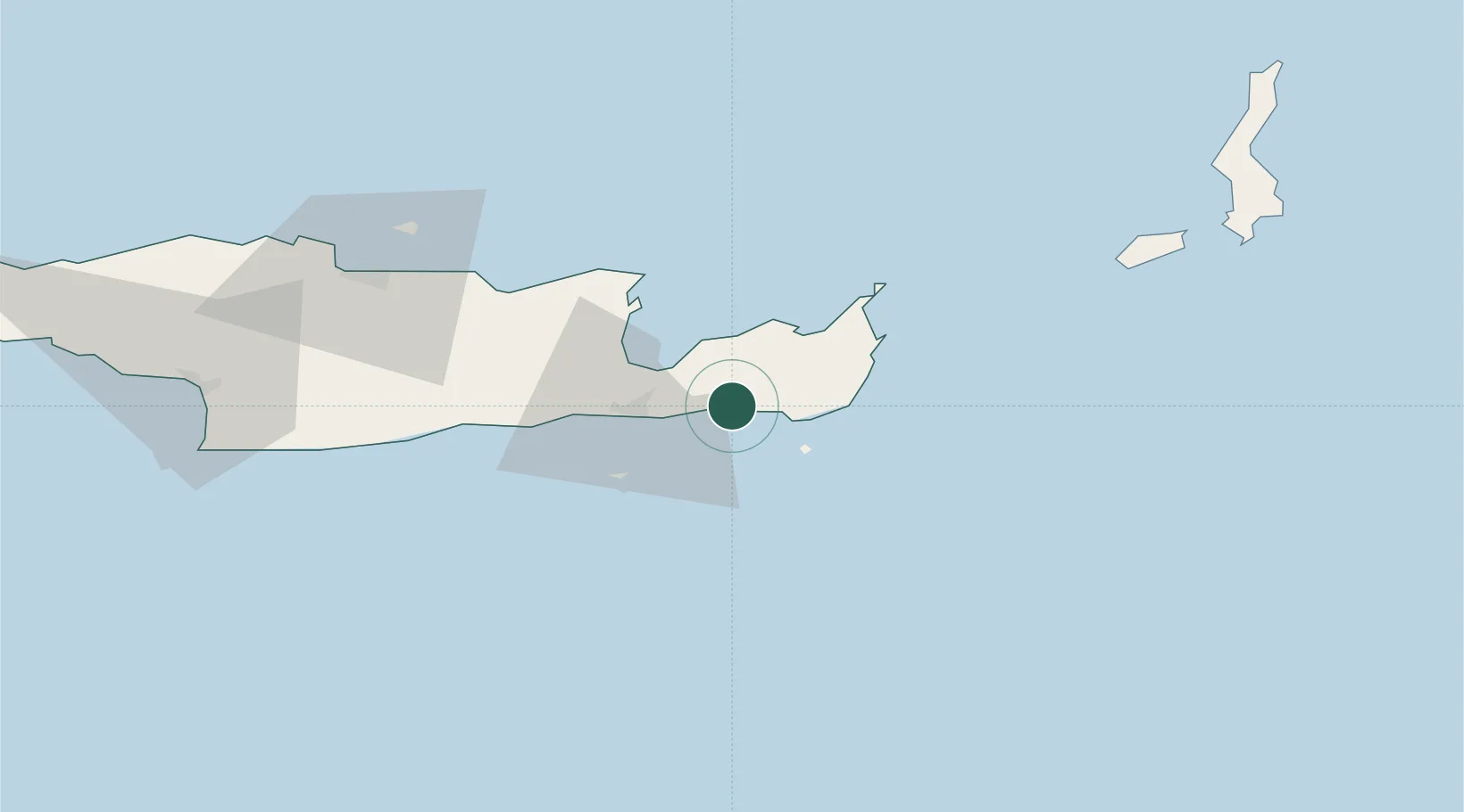
Nearby Logistics Neighbours

Cities
  1. 1Atherinolakos Ierapetras16 km
  2. 2Altsi17 km
  3. 3Ierápetra22 km
  4. 4Siteía23 km
  5. 5Agios Nikólaos, Kríti28 km
Nearest neighbours — logibook spatial index (haversine) over the source coordinates
Ports
  1. 1Sitia25 km
  2. 2Ayios Nikolaos29 km
  3. 3Iraklion82 km
  4. 4Kali Limenes104 km
  5. 5Rethimnon141 km
Nearest neighbours — logibook spatial index (haversine) over the source coordinates
Airports
  1. 1Sitia Airport24 km
  2. 2(Duplicate)Kasteli Hellenic Air Force Base61 km
  3. 3Heraklion International Nikos Kazantzakis Airport79 km
  4. 4Kasos Airport96 km
  5. 5Karpathos Airport116 km
Nearest neighbours — logibook spatial index (haversine) over the source coordinates
Trade Zones
  1. 1Free Zone of Heraklion83 km
  2. 2Tire Organized Industrial Zone377 km
  3. 3Tobruk Free Zone381 km
  4. 4Aegean Free Zone382 km
  5. 5Free Zone of Piraeus386 km
Nearest neighbours — logibook spatial index (haversine) over the source coordinates
DatabookThe Record of Consolidated Knowledge
Greece beyond logistics?
Browse databook

All Sources

LocationsUN/LOCODE
UN/LOCODE — free
Portsthe NGA World Port Index
Public domain (US gov)
AirportsOurAirports
Public domain
Trade Zonesthe World Bank SEZ database
CC BY 4.0
Trade ZonesOpen Zone Map
CC BY
← Greece locations