Transport Functions
Port
Road
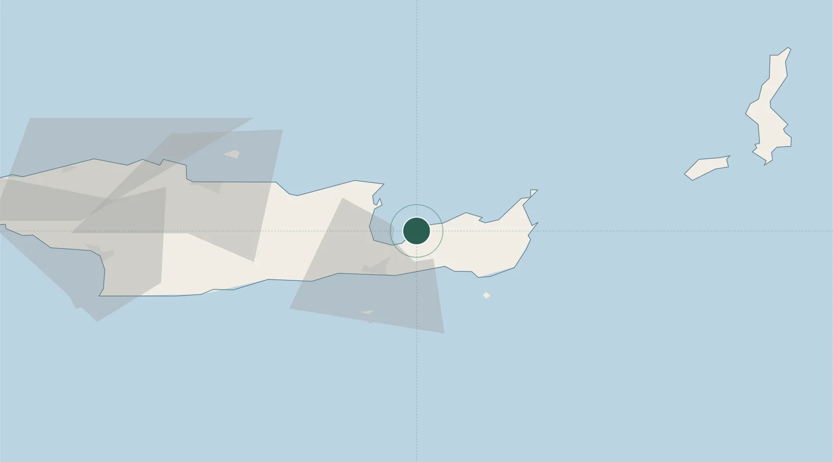
Location
Nearby Logistics Neighbours
Cities
- 1Agios Nikólaos, Kríti15 km
- 2Makriyialos17 km
- 3Siteía22 km
- 4Ierápetra23 km
- 5Atherinolakos Ierapetras29 km
Ports
- 1Ayios Nikolaos16 km
- 2Sitia23 km
- 3Iraklion70 km
- 4Kali Limenes99 km
- 5Rethimnon131 km
Airports
Trade Zones
- 1Free Zone of Heraklion73 km
- 2Tire Organized Industrial Zone366 km
- 3Aegean Free Zone370 km
- 4Free Zone of Piraeus370 km
- 5Izmir Ataturk Organized Industrial Zone384 km
DatabookThe Record of Consolidated Knowledge
Greece beyond logistics?