Transport Functions
Rail
Road
Hub Profile
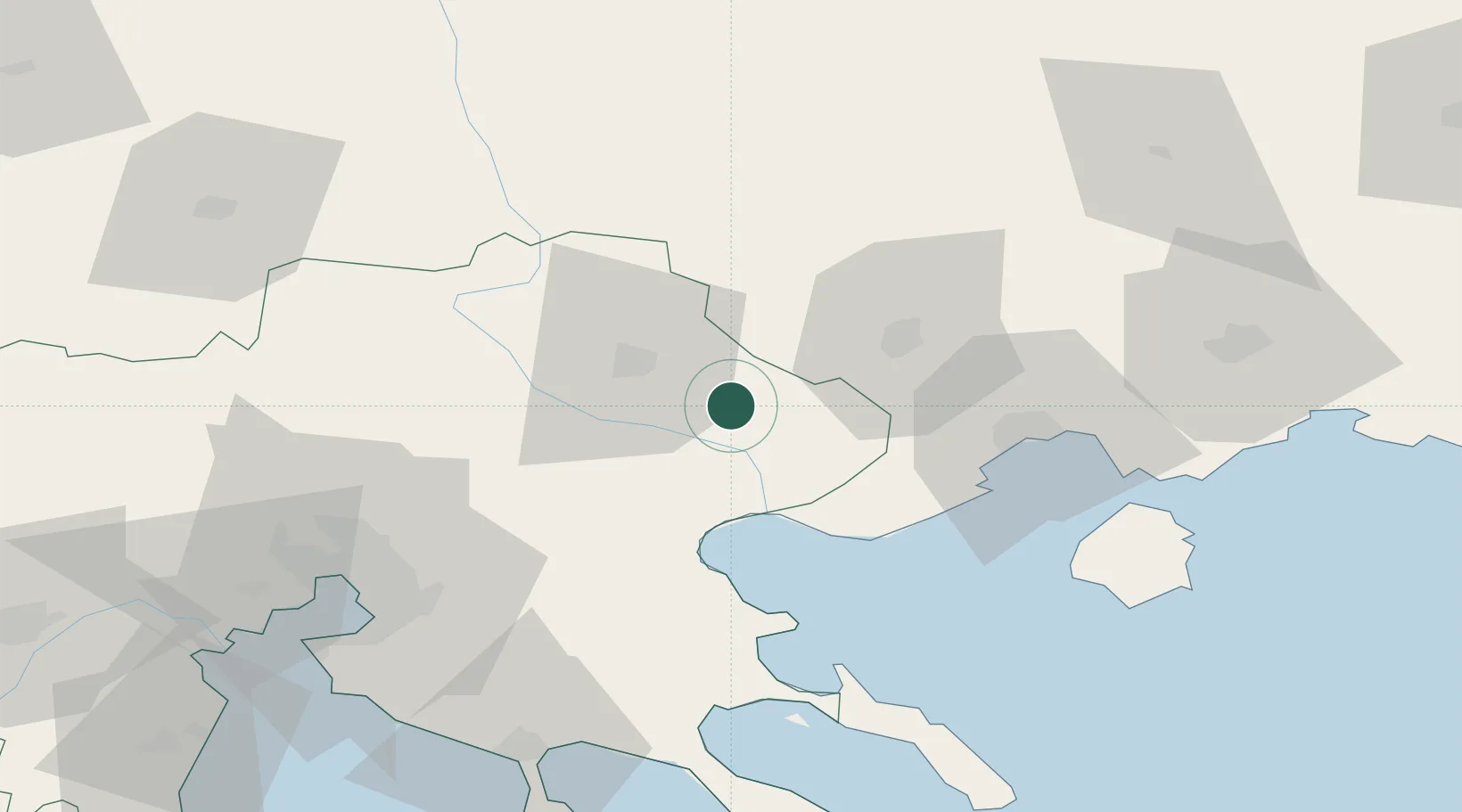
Place type
Populated place
Region
Central Macedonia
Population
1,315
Time zone
Europe/Athens
Elevation
112 m
Location
Nearby Logistics Neighbours
Cities
- 1Próti21 km
- 2Prosotsáni25 km
- 3Asproválta34 km
- 4Eleftheres50 km
- 5Amigdaleonas51 km
Ports
- 1Kavala54 km
- 2Stratoni56 km
- 3Thessaloniki82 km
- 4Yerakini87 km
- 5Lagos115 km
Airports
Trade Zones
- 1Free Zone of Thessaloniki83 km
- 2TIDZ Strumica98 km
- 3TIDZ Gevgelija109 km
- 4TIDZ Berovo109 km
- 5TIDZ Radoviš129 km
DatabookThe Record of Consolidated Knowledge
Greece beyond logistics?