Transport Functions
Port
Road
Hub Profile
Place type
District seat
Region
East Macedonia and Thrace
Population
4,021
Time zone
Europe/Athens
Elevation
139 m
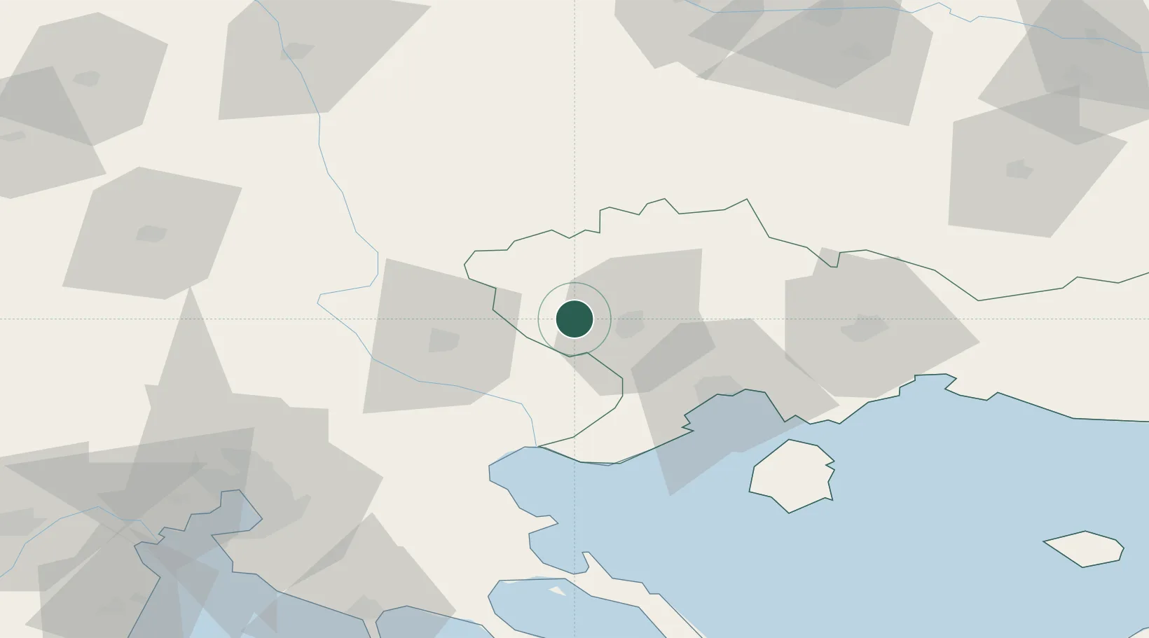
Location
Nearby Logistics Neighbours
Cities
- 1Gázoros25 km
- 2Próti26 km
- 3Amigdaleonas41 km
- 4Kavála46 km
- 5Eleftheres47 km
Ports
- 1Kavala46 km
- 2Stratoni75 km
- 3Lagos100 km
- 4Thessaloniki106 km
- 5Yerakini110 km
Airports
Trade Zones
- 1Free Zone of Thessaloniki107 km
- 2TIDZ Strumica108 km
- 3Plovdiv Free Zone110 km
- 4TIDZ Berovo111 km
- 5Kuklen Industrial and Commercial Zone117 km
DatabookThe Record of Consolidated Knowledge
Greece beyond logistics?