Transport Functions
Port
Road
Hub Profile
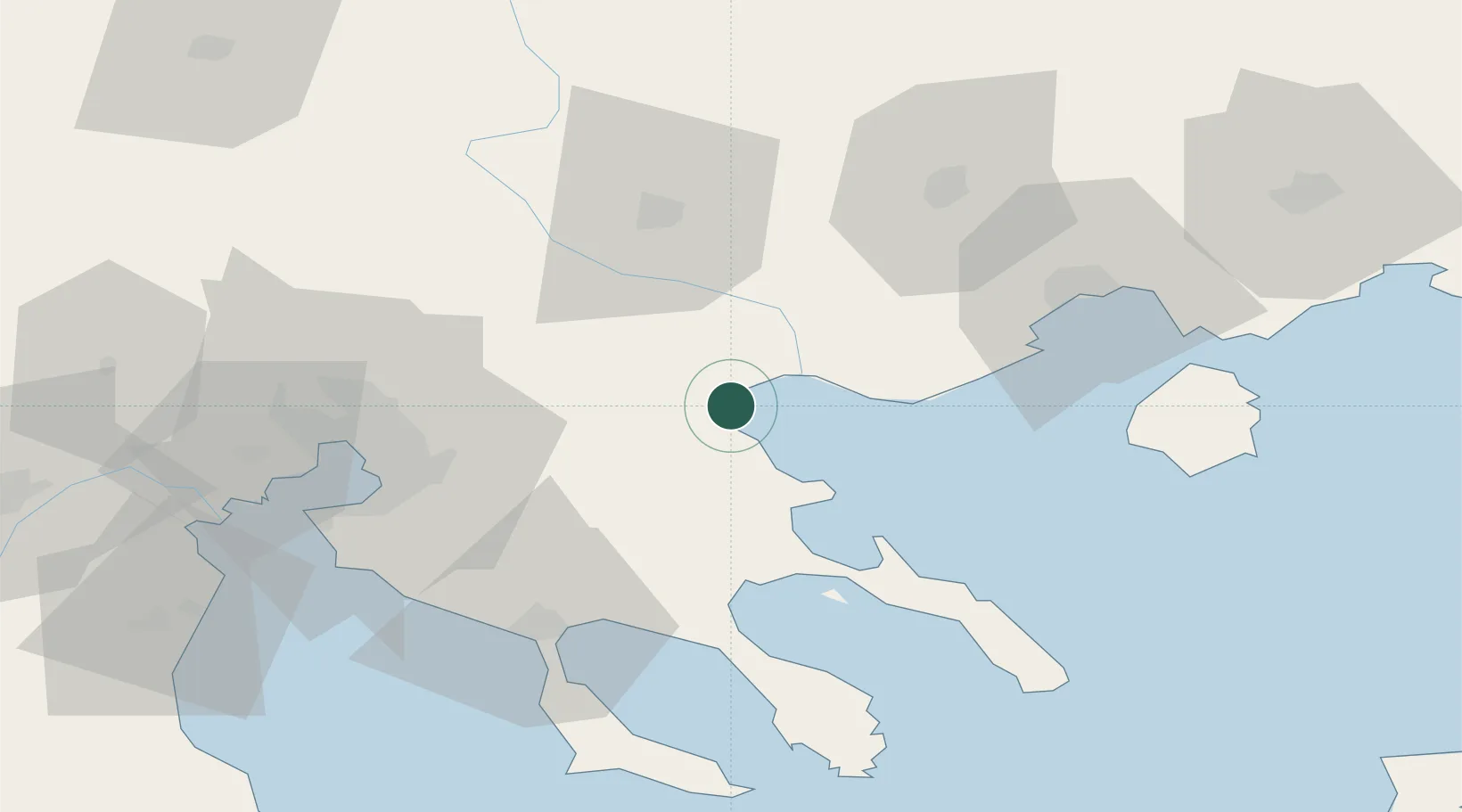
Place type
Populated place
Region
Central Macedonia
Population
2,838
Time zone
Europe/Athens
Elevation
8 m
Location
Nearby Logistics Neighbours
Cities
- 1Gázoros34 km
- 2Próti36 km
- 3Ierissos40 km
- 4Lagkadás41 km
- 5Trypiti Chalkidikis43 km
Ports
- 1Stratoni25 km
- 2Yerakini54 km
- 3Kavala64 km
- 4Thessaloniki65 km
- 5Lagos125 km
Airports
Trade Zones
- 1Free Zone of Thessaloniki66 km
- 2TIDZ Strumica112 km
- 3TIDZ Gevgelija115 km
- 4TIDZ Berovo132 km
- 5TIDZ Radoviš145 km
DatabookThe Record of Consolidated Knowledge
Greece beyond logistics?