Transport Functions
Multimodal
Hub Profile
Place type
Populated place
Region
Central Macedonia
Population
58
Time zone
Europe/Athens
Elevation
29 m
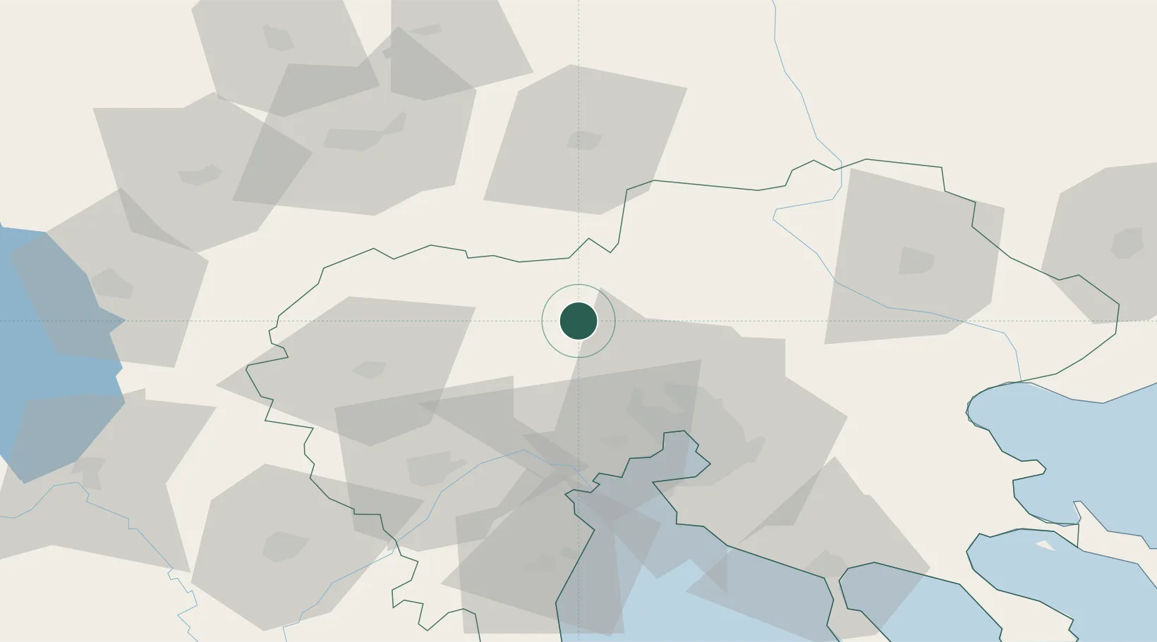
Location
Nearby Logistics Neighbours
Cities
- 1Axioupoli8 km
- 2Gevgelija23 km
- 3Giannitsa26 km
- 4Argyroupolis27 km
- 5Ankhíalos30 km
Ports
- 1Thessaloniki44 km
- 2Yerakini105 km
- 3Stratoni113 km
- 4Kavala150 km
- 5Volos178 km
Airports
Trade Zones
- 1TIDZ Gevgelija29 km
- 2Free Zone of Thessaloniki43 km
- 3TIDZ Strumica49 km
- 4TIDZ Radoviš76 km
- 5TIDZ Berovo86 km
DatabookThe Record of Consolidated Knowledge
Greece beyond logistics?