UN/LOCODE hub · Greece
GRGAK

Giannitsa

40.7833°, 22.4000°
27,817
Population
1
Transport functions

Transport Functions

Multimodal
UN/LOCODE

Hub Profile

Place type
District seat
GeoNames
Region
Central Macedonia
GeoNames
Population
27,817
GeoNames
Time zone
Europe/Athens
GeoNames
Elevation
31 m
GeoNames

Location

Location of GRGAK
Natural Earth 10m (public domain) · Central Macedonia · GRGAK · 40.78, 22.40GoogleOSMYandex

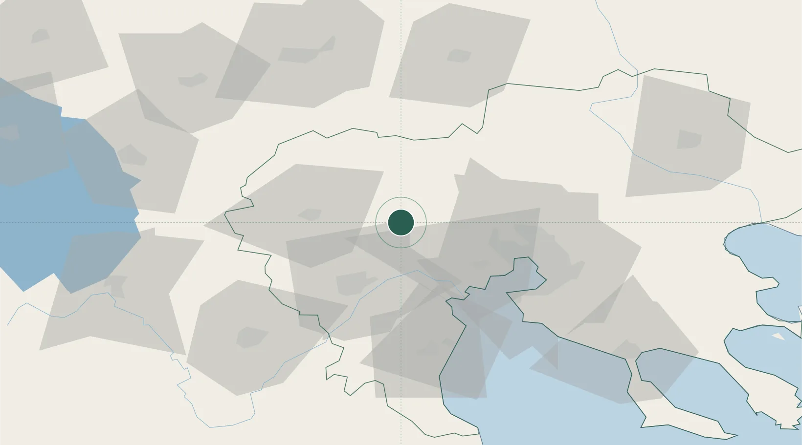
Nearby Logistics Neighbours

Cities
  1. 1Platy20 km
  2. 2Áhdendron21 km
  3. 3Axioupoli25 km
  4. 4Limnotopos26 km
  5. 5Kopanós29 km
Nearest neighbours — logibook spatial index (haversine) over the source coordinates
Ports
  1. 1Thessaloniki48 km
  2. 2Yerakini107 km
  3. 3Stratoni125 km
  4. 4Volos164 km
  5. 5Kavala169 km
Nearest neighbours — logibook spatial index (haversine) over the source coordinates
Airports
  1. 1Thessaloniki Macedonia International Airport56 km
  2. 2Kozani National Airport Filippos73 km
  3. 3Kastoria National Airport Aristotle102 km
  4. 4Skopje International Airport146 km
  5. 5Ohrid St. Paul the Apostle Airport146 km
Nearest neighbours — logibook spatial index (haversine) over the source coordinates
Trade Zones
  1. 1TIDZ Gevgelija47 km
  2. 2Free Zone of Thessaloniki47 km
  3. 3TIDZ Strumica72 km
  4. 4TIDZ Radoviš94 km
  5. 5TIDZ Prilep94 km
Nearest neighbours — logibook spatial index (haversine) over the source coordinates
DatabookThe Record of Consolidated Knowledge
Greece beyond logistics?
Browse databook

All Sources

LocationsUN/LOCODE
UN/LOCODE — free
LocationsGeoNames
CC BY 4.0
Portsthe NGA World Port Index
Public domain (US gov)
AirportsOurAirports
Public domain
Trade Zonesthe World Bank SEZ database
CC BY 4.0
Trade ZonesOpen Zone Map
CC BY
← Greece locations