UN/LOCODE hub · Greece
GRGAA

Axioupoli

40.9833°, 22.5333°
2,897
Population
1
Transport functions

Transport Functions

Multimodal
UN/LOCODE

Hub Profile

Place type
Populated place
GeoNames
Region
Central Macedonia
GeoNames
Population
2,897
GeoNames
Time zone
Europe/Athens
GeoNames
Elevation
41 m
GeoNames

Location

Location of GRGAA
Natural Earth 10m (public domain) · Central Macedonia · GRGAA · 40.98, 22.53GoogleOSMYandex

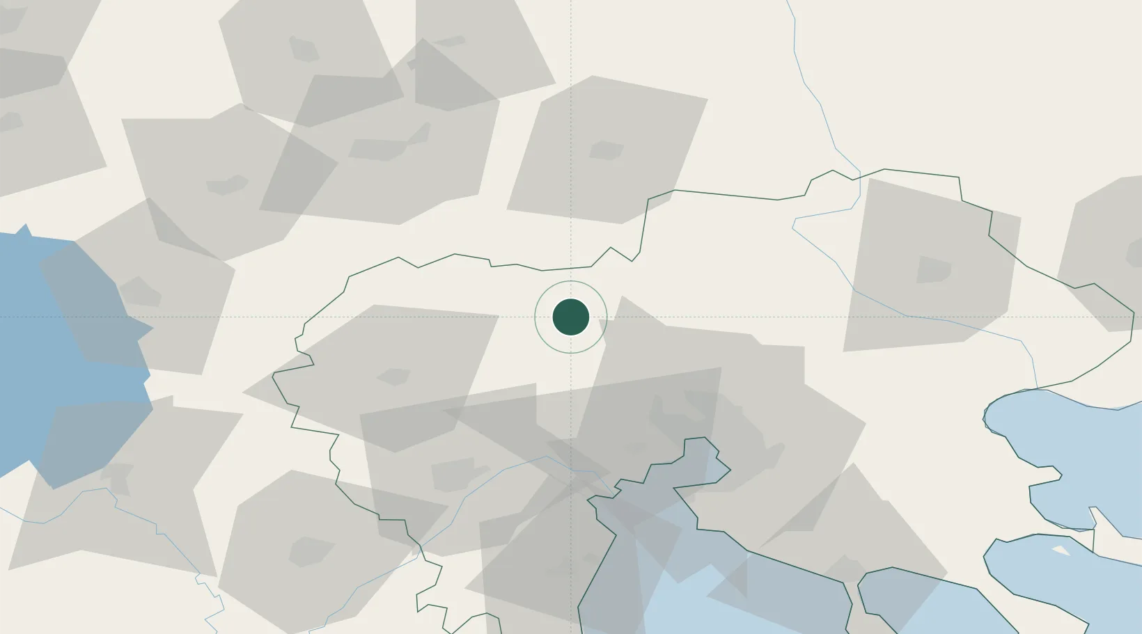
Nearby Logistics Neighbours

Cities
  1. 1Limnotopos8 km
  2. 2Gevgelija17 km
  3. 3Giannitsa25 km
  4. 4Novi Dojran30 km
  5. 5Argyroupolis34 km
Nearest neighbours — logibook spatial index (haversine) over the source coordinates
Ports
  1. 1Thessaloniki52 km
  2. 2Yerakini112 km
  3. 3Stratoni121 km
  4. 4Kavala157 km
  5. 5Volos183 km
Nearest neighbours — logibook spatial index (haversine) over the source coordinates
Airports
  1. 1Thessaloniki Macedonia International Airport63 km
  2. 2Kozani National Airport Filippos97 km
  3. 3Kastoria National Airport Aristotle121 km
  4. 4Skopje International Airport132 km
  5. 5Ohrid St. Paul the Apostle Airport152 km
Nearest neighbours — logibook spatial index (haversine) over the source coordinates
Trade Zones
  1. 1TIDZ Gevgelija24 km
  2. 2TIDZ Strumica47 km
  3. 3Free Zone of Thessaloniki51 km
  4. 4TIDZ Radoviš72 km
  5. 5TIDZ Berovo84 km
Nearest neighbours — logibook spatial index (haversine) over the source coordinates
DatabookThe Record of Consolidated Knowledge
Greece beyond logistics?
Browse databook

All Sources

LocationsUN/LOCODE
UN/LOCODE — free
LocationsGeoNames
CC BY 4.0
Portsthe NGA World Port Index
Public domain (US gov)
AirportsOurAirports
Public domain
Trade Zonesthe World Bank SEZ database
CC BY 4.0
Trade ZonesOpen Zone Map
CC BY
← Greece locations