UN/LOCODE hub · Greece
GRGAC

Argyroupolis

40.9833°, 22.9333°
2
Transport functions

Transport Functions

Road
Multimodal
UN/LOCODE

Hub Profile

Region
57
GeoNames

Location

Location of GRGAC
Natural Earth 10m (public domain) · 57 · GRGAC · 40.98, 22.93GoogleOSMYandex

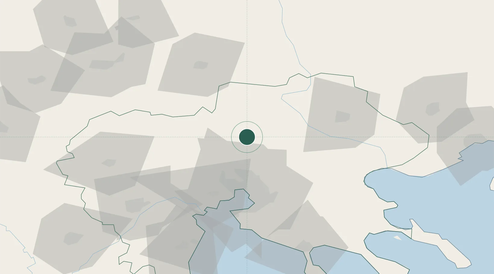
Nearby Logistics Neighbours

Cities
  1. 1Limnotopos27 km
  2. 2Neokhoroúdha28 km
  3. 3Pendálofos29 km
  4. 4Oreokastro30 km
  5. 5Ankhíalos32 km
Nearest neighbours — logibook spatial index (haversine) over the source coordinates
Ports
  1. 1Thessaloniki39 km
  2. 2Yerakini92 km
  3. 3Stratoni92 km
  4. 4Kavala123 km
  5. 5Volos180 km
Nearest neighbours — logibook spatial index (haversine) over the source coordinates
Airports
  1. 1Thessaloniki Macedonia International Airport52 km
  2. 2Kozani National Airport Filippos121 km
  3. 3Kavala Alexander the Great International Airport142 km
  4. 4Kastoria National Airport Aristotle151 km
  5. 5Skopje International Airport154 km
Nearest neighbours — logibook spatial index (haversine) over the source coordinates
Trade Zones
  1. 1Free Zone of Thessaloniki39 km
  2. 2TIDZ Gevgelija44 km
  3. 3TIDZ Strumica49 km
  4. 4TIDZ Berovo81 km
  5. 5TIDZ Radoviš82 km
Nearest neighbours — logibook spatial index (haversine) over the source coordinates
DatabookThe Record of Consolidated Knowledge
Greece beyond logistics?
Browse databook

All Sources

LocationsUN/LOCODE
UN/LOCODE — free
Portsthe NGA World Port Index
Public domain (US gov)
AirportsOurAirports
Public domain
Trade Zonesthe World Bank SEZ database
CC BY 4.0
Trade ZonesOpen Zone Map
CC BY
← Greece locations