Transport Functions
Rail
Road
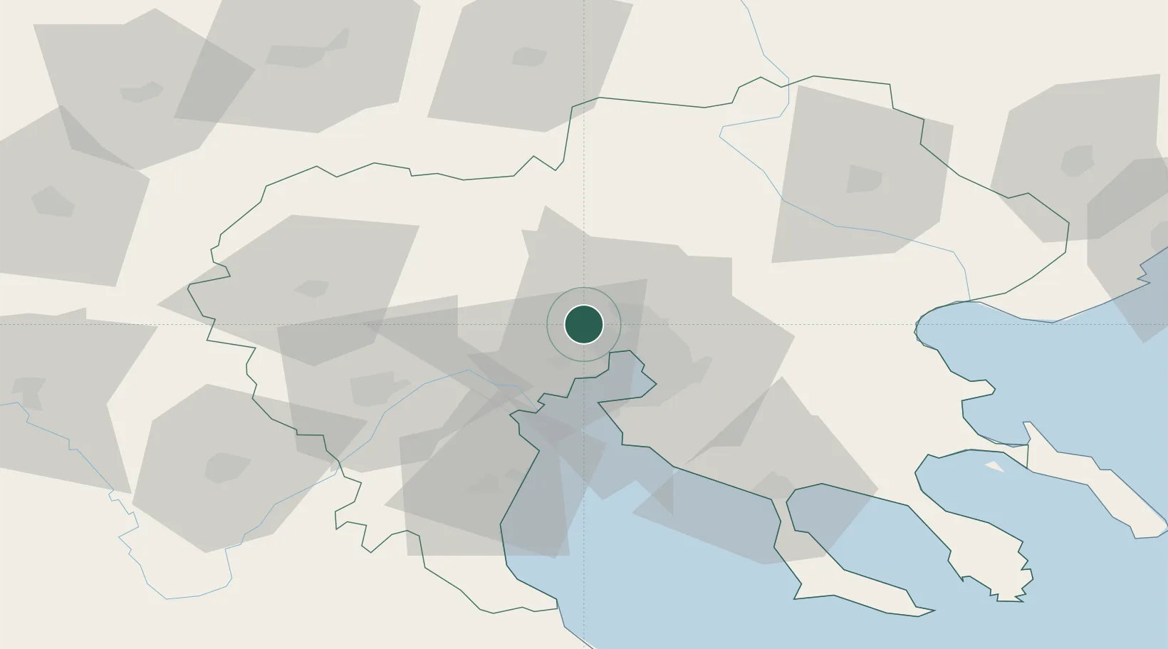
Location
Nearby Logistics Neighbours
Cities
- 1Pendálofos6 km
- 2Neokhoroúdha9 km
- 3Oreokastro10 km
- 4Évosmon13 km
- 5Thessaloníki13 km
Ports
- 1Thessaloniki16 km
- 2Yerakini76 km
- 3Stratoni91 km
- 4Kavala138 km
- 5Volos151 km
Airports
Trade Zones
- 1Free Zone of Thessaloniki15 km
- 2TIDZ Gevgelija59 km
- 3TIDZ Strumica75 km
- 4TIDZ Radoviš105 km
- 5TIDZ Berovo110 km
DatabookThe Record of Consolidated Knowledge
Greece beyond logistics?