UN/LOCODE hub · Greece
GRGAE

Avlona

35.7667°, 27.1833°
1
Transport functions

Transport Functions

Multimodal
UN/LOCODE

Hub Profile

Place type
Populated place
GeoNames
Region
South Aegean
GeoNames
Time zone
Europe/Athens
GeoNames
Elevation
291 m
GeoNames

Location

Location of GRGAE
Natural Earth 10m (public domain) · South Aegean · GRGAE · 35.77, 27.18GoogleOSMYandex

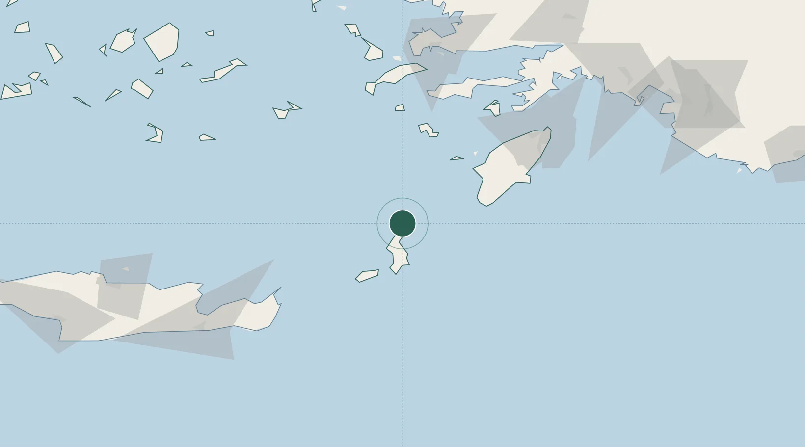
Nearby Logistics Neighbours

Cities
  1. 1Diafánion4 km
  2. 2Kárpathos30 km
  3. 3Kassos46 km
  4. 4Prasonisi Rhodes54 km
  5. 5Halki Dodekanison63 km
Nearest neighbours — logibook spatial index (haversine) over the source coordinates
Ports
  1. 1Sitia113 km
  2. 2Rodhos121 km
  3. 3Limin Kos126 km
  4. 4Kalimnos133 km
  5. 5Bodrum143 km
Nearest neighbours — logibook spatial index (haversine) over the source coordinates
Airports
  1. 1Karpathos Airport39 km
  2. 2Kasos Airport46 km
  3. 3Rhodes International Airport "Diagoras"108 km
  4. 4Kos International Airport "Ippokratis"115 km
  5. 5Sitia Airport116 km
Nearest neighbours — logibook spatial index (haversine) over the source coordinates
Trade Zones
  1. 1Free Zone of Heraklion200 km
  2. 2Tire Organized Industrial Zone266 km
  3. 3Aegean Free Zone286 km
  4. 4Izmir Ataturk Organized Industrial Zone303 km
  5. 5Denizli Free Zone317 km
Nearest neighbours — logibook spatial index (haversine) over the source coordinates
DatabookThe Record of Consolidated Knowledge
Greece beyond logistics?
Browse databook

All Sources

LocationsUN/LOCODE
UN/LOCODE — free
Portsthe NGA World Port Index
Public domain (US gov)
AirportsOurAirports
Public domain
Trade Zonesthe World Bank SEZ database
CC BY 4.0
Trade ZonesOpen Zone Map
CC BY
← Greece locations