UN/LOCODE hub · Greece
GRDIA

Diafánion

35.7500°, 27.2167°
1
Transport functions

Transport Functions

Port
UN/LOCODE

Hub Profile

Place type
Populated place
GeoNames
Region
South Aegean
GeoNames
Time zone
Europe/Athens
GeoNames
Elevation
8 m
GeoNames

Location

Location of GRDIA
Natural Earth 10m (public domain) · South Aegean · GRDIA · 35.75, 27.22GoogleOSMYandex

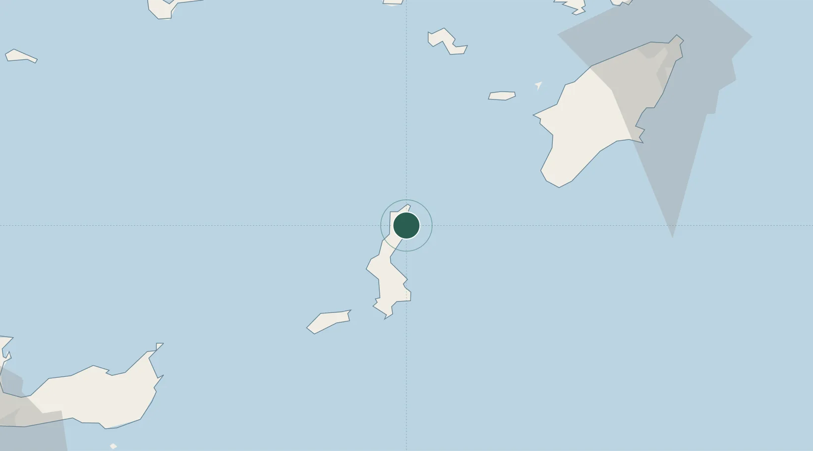
Nearby Logistics Neighbours

Cities
  1. 1Avlona4 km
  2. 2Kárpathos28 km
  3. 3Kassos46 km
  4. 4Prasonisi Rhodes52 km
  5. 5Halki Dodekanison62 km
Nearest neighbours — logibook spatial index (haversine) over the source coordinates
Ports
  1. 1Sitia115 km
  2. 2Rodhos120 km
  3. 3Limin Kos128 km
  4. 4Kalimnos135 km
  5. 5Bodrum144 km
Nearest neighbours — logibook spatial index (haversine) over the source coordinates
Airports
  1. 1Karpathos Airport37 km
  2. 2Kasos Airport46 km
  3. 3Rhodes International Airport "Diagoras"107 km
  4. 4Kos International Airport "Ippokratis"117 km
  5. 5Sitia Airport117 km
Nearest neighbours — logibook spatial index (haversine) over the source coordinates
Trade Zones
  1. 1Free Zone of Heraklion202 km
  2. 2Tire Organized Industrial Zone267 km
  3. 3Aegean Free Zone288 km
  4. 4Izmir Ataturk Organized Industrial Zone305 km
  5. 5Denizli Free Zone316 km
Nearest neighbours — logibook spatial index (haversine) over the source coordinates
DatabookThe Record of Consolidated Knowledge
Greece beyond logistics?
Browse databook

All Sources

LocationsUN/LOCODE
UN/LOCODE — free
Portsthe NGA World Port Index
Public domain (US gov)
AirportsOurAirports
Public domain
Trade Zonesthe World Bank SEZ database
CC BY 4.0
Trade ZonesOpen Zone Map
CC BY
← Greece locations