Transport Functions
Port
Airport
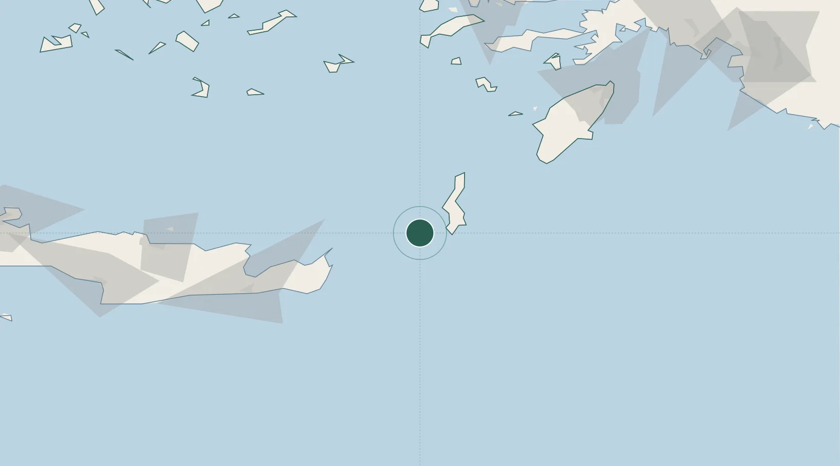
Location
Nearby Logistics Neighbours
Cities
- 1Kárpathos30 km
- 2Avlona46 km
- 3Diafánion46 km
- 4Siteía77 km
- 5Atherinolakos Ierapetras85 km
Ports
- 1Sitia75 km
- 2Ayios Nikolaos112 km
- 3Iraklion160 km
- 4Rodhos165 km
- 5Limin Kos168 km
Airports
- 1Kasos Airport1 km
- 2Karpathos Airport21 km
- 3Sitia Airport77 km
- 4Astypalaia Airport138 km
- 5(Duplicate)Kasteli Hellenic Air Force Base147 km
Trade Zones
- 1Free Zone of Heraklion168 km
- 2Tire Organized Industrial Zone309 km
- 3Aegean Free Zone325 km
- 4Izmir Ataturk Organized Industrial Zone342 km
- 5Izmir Free Zone356 km
DatabookThe Record of Consolidated Knowledge
Greece beyond logistics?