Transport Functions
Port
Airport
Hub Profile
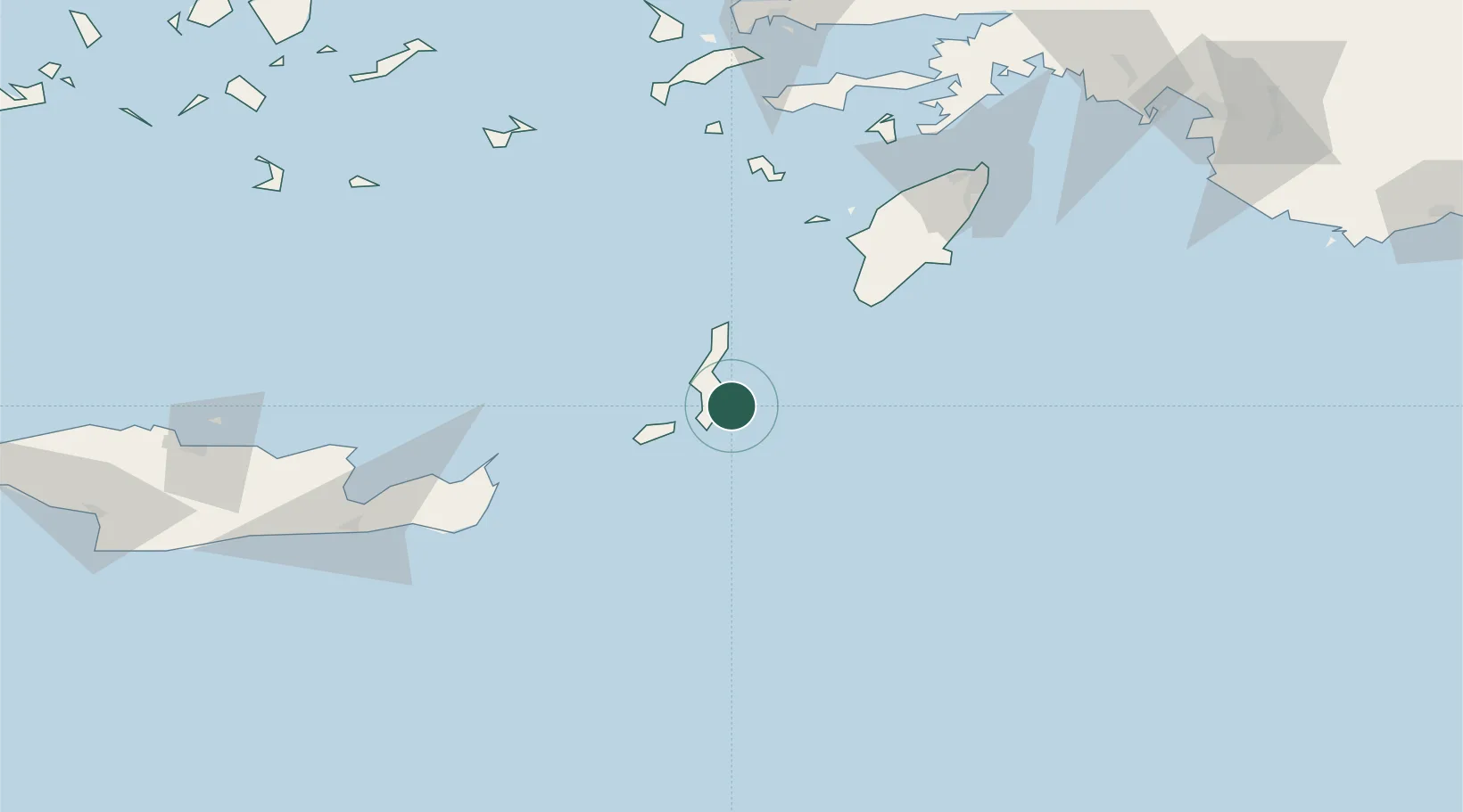
Place type
Populated place
Region
South Aegean
Population
2,243
Time zone
Europe/Athens
Elevation
23 m
Location
Nearby Logistics Neighbours
Cities
- 1Diafánion28 km
- 2Avlona30 km
- 3Kassos30 km
- 4Prasonisi Rhodes64 km
- 5Halki Dodekanison86 km
Ports
- 1Sitia105 km
- 2Rodhos139 km
- 3Ayios Nikolaos142 km
- 4Limin Kos156 km
- 5Kalimnos163 km
Airports
- 1Karpathos Airport12 km
- 2Kasos Airport31 km
- 3Sitia Airport107 km
- 4Rhodes International Airport "Diagoras"127 km
- 5Astypalaia Airport143 km
Trade Zones
- 1Free Zone of Heraklion198 km
- 2Tire Organized Industrial Zone294 km
- 3Aegean Free Zone316 km
- 4Izmir Ataturk Organized Industrial Zone333 km
- 5Denizli Free Zone336 km
DatabookThe Record of Consolidated Knowledge
Greece beyond logistics?