UN/LOCODE hub · Greece
GRERY

Erythres

38.2167°, 23.3167°
2,862
Population
2
Transport functions

Transport Functions

Port
Road
UN/LOCODE

Hub Profile

Place type
Populated place
GeoNames
Region
Attica
GeoNames
Population
2,862
GeoNames
Time zone
Europe/Athens
GeoNames
Elevation
389 m
GeoNames

Location

Location of GRERY
Natural Earth 10m (public domain) · Attica · GRERY · 38.22, 23.32GoogleOSMYandex

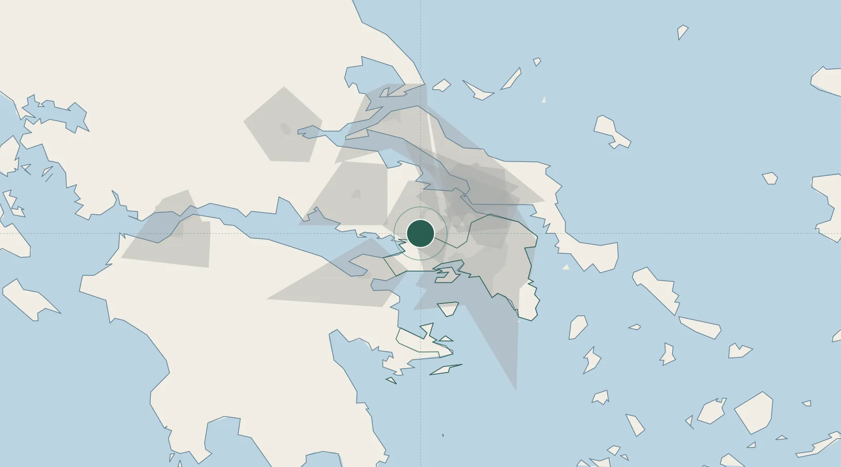
Nearby Logistics Neighbours

Cities
  1. 1Magoúla23 km
  2. 2Mandra Attikis23 km
  3. 3Faneromeni Salaminas27 km
  4. 4Pétra Lesvou28 km
  5. 5Eleusina28 km
Nearest neighbours — logibook spatial index (haversine) over the source coordinates
Ports
  1. 1Megara Oil Terminal29 km
  2. 2Piraievs43 km
  3. 3Ormos Aliveriou67 km
  4. 4Kymassi70 km
  5. 5Itea82 km
Nearest neighbours — logibook spatial index (haversine) over the source coordinates
Airports
  1. 1Tanagra Air Base26 km
  2. 2Elefsis Air Base27 km
  3. 3Athens Eleftherios Venizelos International Airport63 km
  4. 4Skiathos Island National Airport108 km
  5. 5Nea Anchialos National Airport120 km
Nearest neighbours — logibook spatial index (haversine) over the source coordinates
Trade Zones
  1. 1Free Zone of Piraeus40 km
  2. 2Free Zone of Platigiali (Astakos Etoloakarnanias)195 km
  3. 3Free Zone of Thessaloniki271 km
  4. 4TIDZ Gevgelija339 km
  5. 5Përmet Freezone340 km
Nearest neighbours — logibook spatial index (haversine) over the source coordinates
DatabookThe Record of Consolidated Knowledge
Greece beyond logistics?
Browse databook

All Sources

LocationsUN/LOCODE
UN/LOCODE — free
LocationsGeoNames
CC BY 4.0
Portsthe NGA World Port Index
Public domain (US gov)
AirportsOurAirports
Public domain
Trade Zonesthe World Bank SEZ database
CC BY 4.0
Trade ZonesOpen Zone Map
CC BY
← Greece locations