Transport Functions
Port
Airport
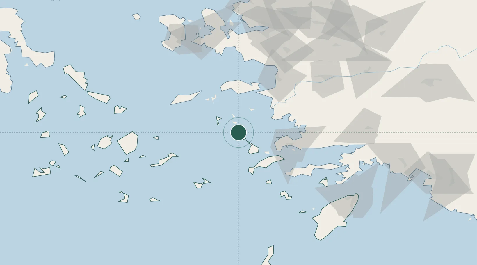
Location
Nearby Logistics Neighbours
Cities
- 1Agia Marina Lerou6 km
- 2Lakkion7 km
- 3Xirokampos Leros10 km
- 4Lipsoí12 km
- 5Arkioi Dodekanissou23 km
Ports
- 1Lakki7 km
- 2Kalimnos31 km
- 3Limin Kos53 km
- 4Pithagorion57 km
- 5Bodrum59 km
Airports
- 1Leros Airport0 km
- 2Kalymnos Airport28 km
- 3Kos International Airport "Ippokratis"50 km
- 4Samos Airport57 km
- 5Ikaria Airport68 km
Trade Zones
- 1Tire Organized Industrial Zone131 km
- 2Aegean Free Zone132 km
- 3Izmir Ataturk Organized Industrial Zone147 km
- 4Izmir Free Zone160 km
- 5Manisa Organized Industrial Zone167 km
DatabookThe Record of Consolidated Knowledge
Greece beyond logistics?