UN/LOCODE hub · Greece
GRFAM

Farmakonissi Dodekanissos

37.2833°, 27.0833°
1
Transport functions

Transport Functions

Port
UN/LOCODE

Hub Profile

Region
81
GeoNames

Location

Location of GRFAM
Natural Earth 10m (public domain) · 81 · GRFAM · 37.28, 27.08GoogleOSMYandex

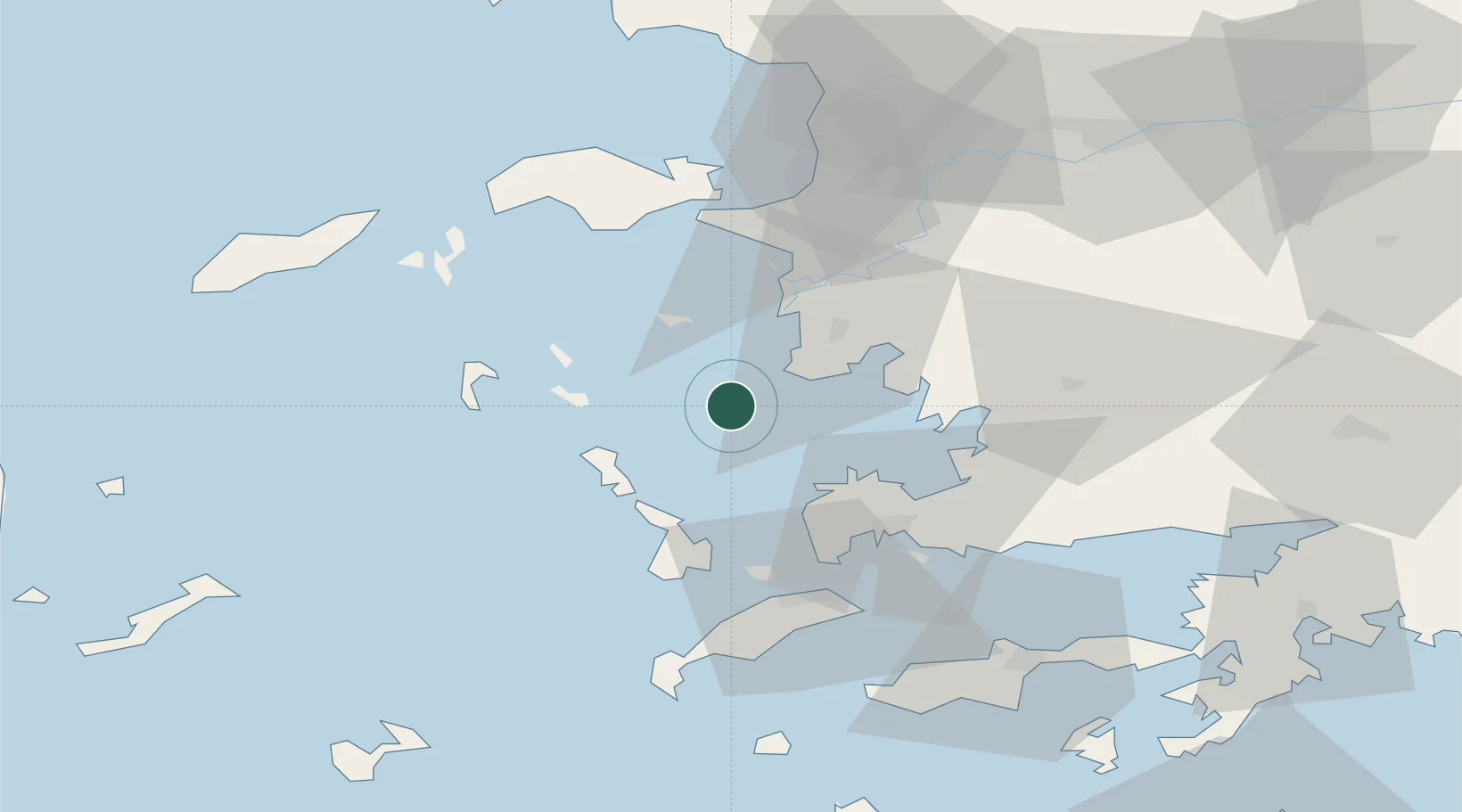
Nearby Logistics Neighbours

Cities
  1. 1Agathonisi21 km
  2. 2Agia Marina Lerou25 km
  3. 3Lakkion27 km
  4. 4Xirokampos Leros27 km
  5. 5Leros27 km
Nearest neighbours — logibook spatial index (haversine) over the source coordinates
Ports
  1. 1Lakki27 km
  2. 2Kalimnos38 km
  3. 3Bodrum42 km
  4. 4Pithagorion46 km
  5. 5Limin Kos46 km
Nearest neighbours — logibook spatial index (haversine) over the source coordinates
Airports
  1. 1Leros Airport27 km
  2. 2Kalymnos Airport38 km
  3. 3Samos Airport48 km
  4. 4Milas Bodrum International Airport52 km
  5. 5Kos International Airport "Ippokratis"54 km
Nearest neighbours — logibook spatial index (haversine) over the source coordinates
Trade Zones
  1. 1Tire Organized Industrial Zone108 km
  2. 2Aegean Free Zone117 km
  3. 3Izmir Ataturk Organized Industrial Zone134 km
  4. 4Izmir Free Zone149 km
  5. 5Manisa Organized Industrial Zone150 km
Nearest neighbours — logibook spatial index (haversine) over the source coordinates
DatabookThe Record of Consolidated Knowledge
Greece beyond logistics?
Browse databook

All Sources

LocationsUN/LOCODE
UN/LOCODE — free
Portsthe NGA World Port Index
Public domain (US gov)
AirportsOurAirports
Public domain
Trade Zonesthe World Bank SEZ database
CC BY 4.0
Trade ZonesOpen Zone Map
CC BY
← Greece locations