UN/LOCODE hub · Greece
GRARD

Arkioi Dodekanissou

37.3833°, 26.7333°
1
Transport functions

Transport Functions

Port
UN/LOCODE

Hub Profile

Region
81
GeoNames

Location

Location of GRARD
Natural Earth 10m (public domain) · 81 · GRARD · 37.38, 26.73GoogleOSMYandex

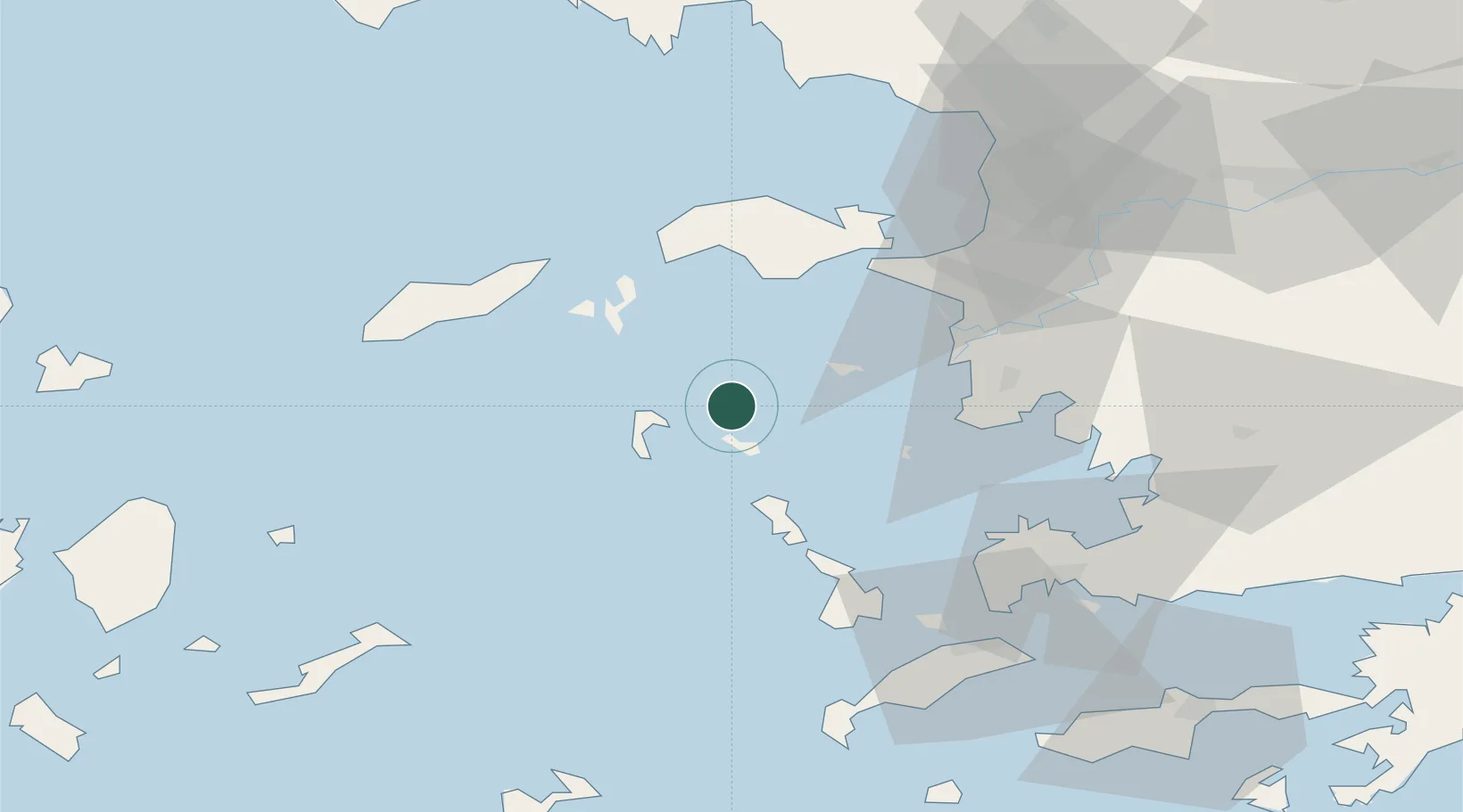
Nearby Logistics Neighbours

Cities
  1. 1Lipsoí12 km
  2. 2Pátmos18 km
  3. 3Agathonisi22 km
  4. 4Leros23 km
  5. 5Foúrnoi24 km
Nearest neighbours — logibook spatial index (haversine) over the source coordinates
Ports
  1. 1Lakki30 km
  2. 2Pithagorion38 km
  3. 3Samos46 km
  4. 4Neon Karlovas47 km
  5. 5Kalimnos53 km
Nearest neighbours — logibook spatial index (haversine) over the source coordinates
Airports
  1. 1Leros Airport23 km
  2. 2Samos Airport38 km
  3. 3Ikaria Airport48 km
  4. 4Kalymnos Airport50 km
  5. 5Kos International Airport "Ippokratis"73 km
Nearest neighbours — logibook spatial index (haversine) over the source coordinates
Trade Zones
  1. 1Aegean Free Zone112 km
  2. 2Tire Organized Industrial Zone118 km
  3. 3Izmir Ataturk Organized Industrial Zone126 km
  4. 4Izmir Free Zone138 km
  5. 5Manisa Organized Industrial Zone148 km
Nearest neighbours — logibook spatial index (haversine) over the source coordinates
DatabookThe Record of Consolidated Knowledge
Greece beyond logistics?
Browse databook

All Sources

LocationsUN/LOCODE
UN/LOCODE — free
Portsthe NGA World Port Index
Public domain (US gov)
AirportsOurAirports
Public domain
Trade Zonesthe World Bank SEZ database
CC BY 4.0
Trade ZonesOpen Zone Map
CC BY
← Greece locations