UN/LOCODE hub · Greece
GRAKM

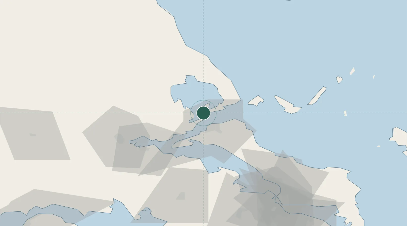
Agia Kyriaki (Trikeri Magnisia)

39.0833°, 23.0667°
1
Transport functions

Transport Functions

Port
UN/LOCODE

Hub Profile

Region
43
GeoNames

Location

Location of GRAKM
Natural Earth 10m (public domain) · 43 · GRAKM · 39.08, 23.07GoogleOSMYandex

Nearby Logistics Neighbours

Cities
  1. 1Trikeri Island0 km
  2. 2Pteleos9 km
  3. 3Akhillion13 km
  4. 4Orei15 km
  5. 5Peyki Evvoias16 km
Nearest neighbours — logibook spatial index (haversine) over the source coordinates
Ports
  1. 1Tsingeli21 km
  2. 2Achladi30 km
  3. 3Volos33 km
  4. 4Kymassi44 km
  5. 5Itea92 km
Nearest neighbours — logibook spatial index (haversine) over the source coordinates
Airports
  1. 1Nea Anchialos National Airport28 km
  2. 2Skiathos Island National Airport39 km
  3. 3Tanagra Air Base93 km
  4. 4Elefsis Air Base121 km
  5. 5Skiros Airport123 km
Nearest neighbours — logibook spatial index (haversine) over the source coordinates
Trade Zones
  1. 1Free Zone of Piraeus135 km
  2. 2Free Zone of Thessaloniki173 km
  3. 3Free Zone of Platigiali (Astakos Etoloakarnanias)183 km
  4. 4TIDZ Gevgelija240 km
  5. 5TIDZ Strumica258 km
Nearest neighbours — logibook spatial index (haversine) over the source coordinates
DatabookThe Record of Consolidated Knowledge
Greece beyond logistics?
Browse databook

All Sources

LocationsUN/LOCODE
UN/LOCODE — free
Portsthe NGA World Port Index
Public domain (US gov)
AirportsOurAirports
Public domain
Trade Zonesthe World Bank SEZ database
CC BY 4.0
Trade ZonesOpen Zone Map
CC BY
← Greece locations