Transport Functions
Port
Hub Profile
Region
13
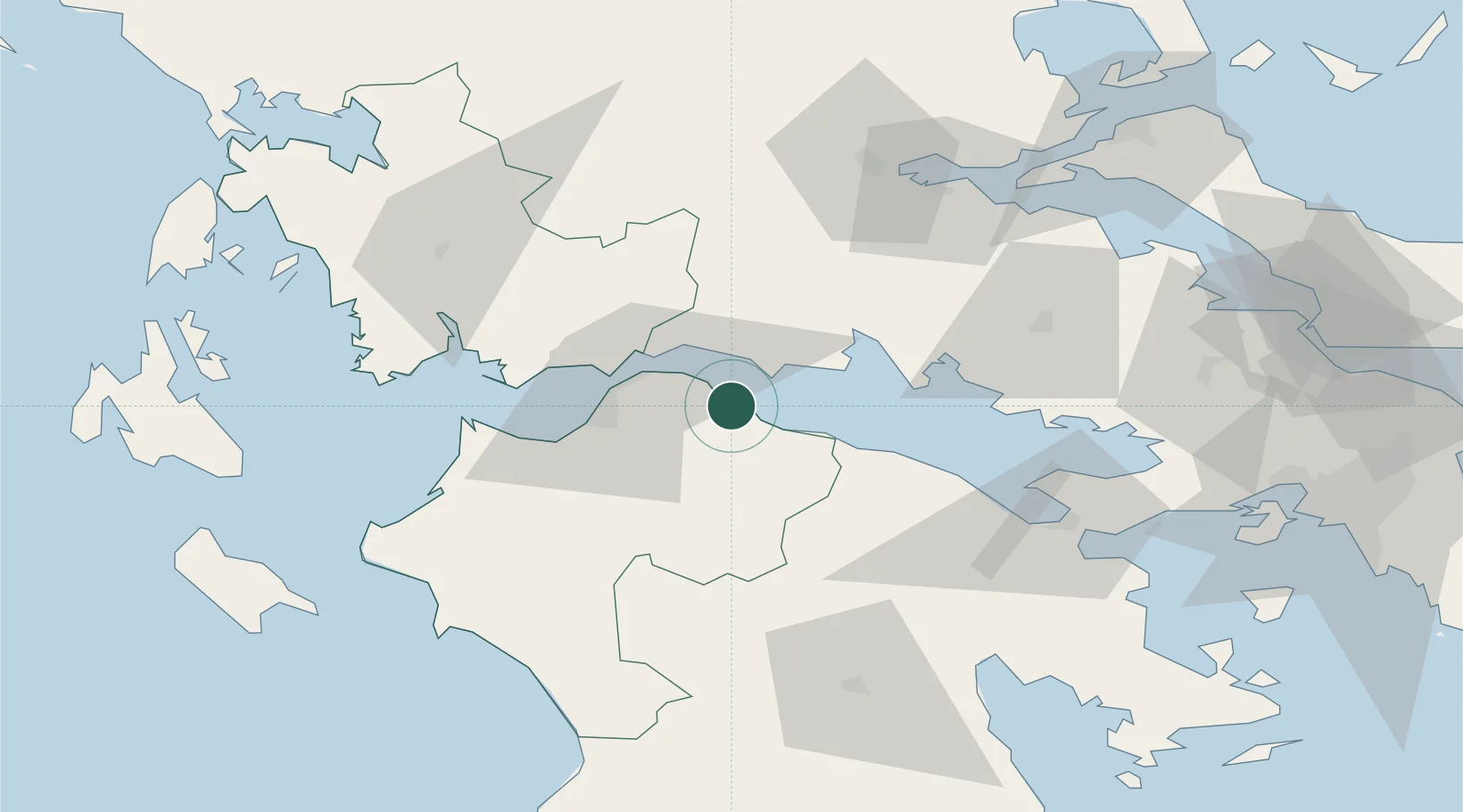
Location
Nearby Logistics Neighbours
Cities
- 1Agios Nikolaos Fokidas11 km
- 2Eratini18 km
- 3Drepano Riou22 km
- 4Evpálion23 km
- 5Návpaktos28 km
Ports
- 1Aigio0 km
- 2Patrai31 km
- 3Itea36 km
- 4Mesolongion60 km
- 5Astakos90 km
Airports
Trade Zones
- 1Free Zone of Platigiali (Astakos Etoloakarnanias)89 km
- 2Free Zone of Piraeus138 km
- 3Gjirokastër Freezone261 km
- 4Përmet Freezone267 km
- 5Free Zone of Thessaloniki275 km
DatabookThe Record of Consolidated Knowledge
Greece beyond logistics?