UN/LOCODE hub · Greece
GRETK

Eratini

38.3667°, 22.2333°
1
Transport functions

Transport Functions

Port
UN/LOCODE

Hub Profile

Region
07
GeoNames

Location

Location of GRETK
Natural Earth 10m (public domain) · 07 · GRETK · 38.37, 22.23GoogleOSMYandex

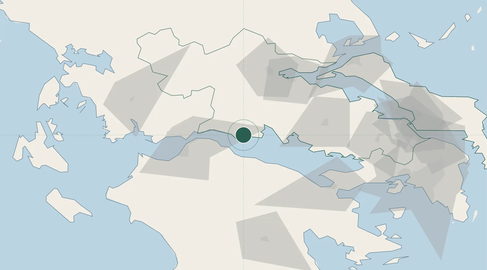
Nearby Logistics Neighbours

Cities
  1. 1Agios Nikolaos Fokidas8 km
  2. 2Galaxidi13 km
  3. 3Itea18 km
  4. 4Aígion18 km
  5. 5Evpálion27 km
Nearest neighbours — logibook spatial index (haversine) over the source coordinates
Ports
  1. 1Itea18 km
  2. 2Aigio18 km
  3. 3Patrai46 km
  4. 4Mesolongion71 km
  5. 5Achladi78 km
Nearest neighbours — logibook spatial index (haversine) over the source coordinates
Airports
  1. 1Patras Araxos Agamemnon Airport75 km
  2. 2Andravida Air Base96 km
  3. 3Nea Anchialos National Airport107 km
  4. 4Tanagra Air Base116 km
  5. 5Elefsis Air Base120 km
Nearest neighbours — logibook spatial index (haversine) over the source coordinates
Trade Zones
  1. 1Free Zone of Platigiali (Astakos Etoloakarnanias)99 km
  2. 2Free Zone of Piraeus129 km
  3. 3Free Zone of Thessaloniki259 km
  4. 4Gjirokastër Freezone260 km
  5. 5Përmet Freezone264 km
Nearest neighbours — logibook spatial index (haversine) over the source coordinates
DatabookThe Record of Consolidated Knowledge
Greece beyond logistics?
Browse databook

All Sources

LocationsUN/LOCODE
UN/LOCODE — free
Portsthe NGA World Port Index
Public domain (US gov)
AirportsOurAirports
Public domain
Trade Zonesthe World Bank SEZ database
CC BY 4.0
Trade ZonesOpen Zone Map
CC BY
← Greece locations