UN/LOCODE hub · Greece
GRDRE

Drepano Riou

38.3333°, 21.8500°
1
Transport functions

Transport Functions

Port
UN/LOCODE

Location

Location of GRDRE
Natural Earth 10m (public domain) · Dytiki Ellada · GRDRE · 38.33, 21.85GoogleOSMYandex

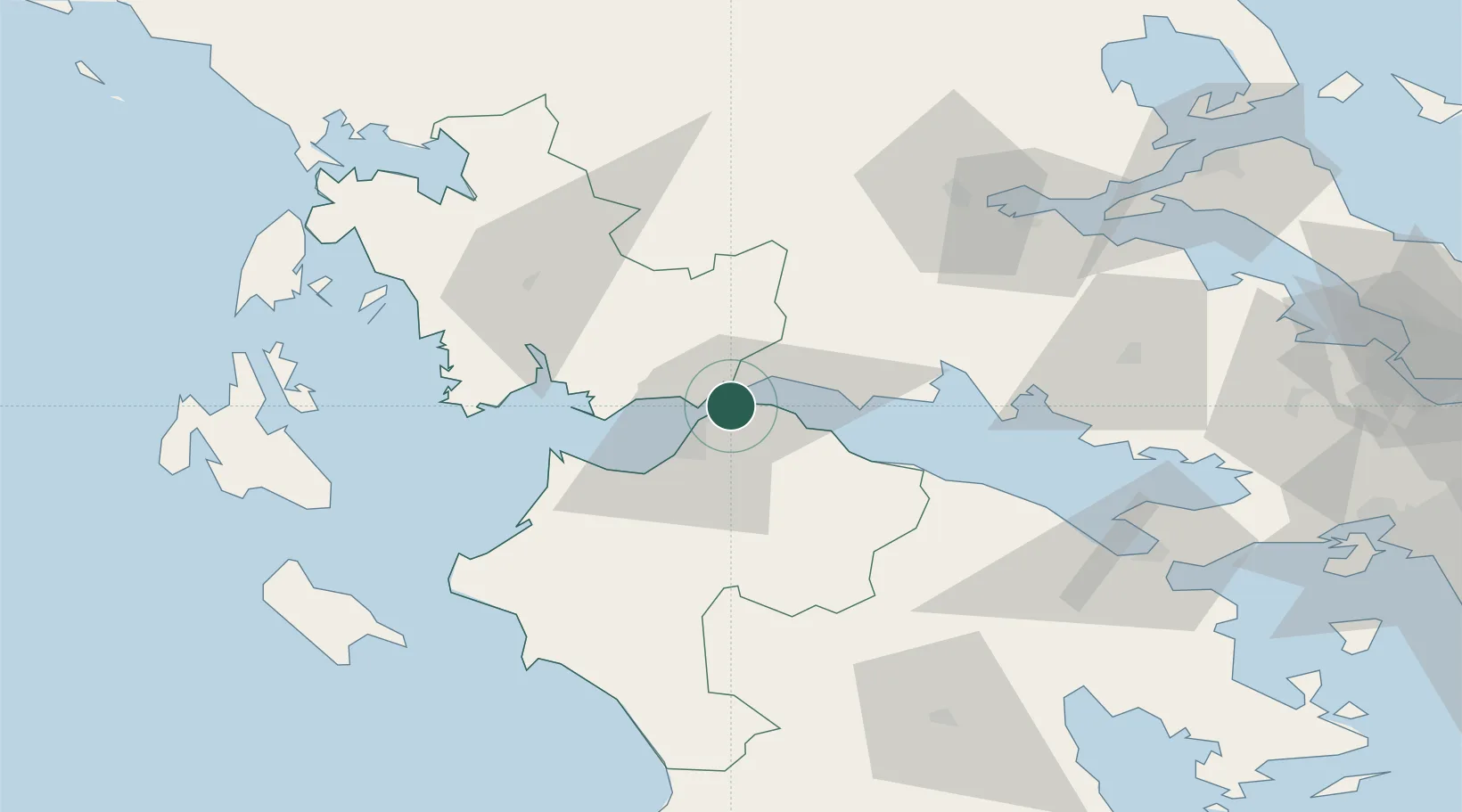
Nearby Logistics Neighbours

Cities
  1. 1Andírrion7 km
  2. 2Návpaktos8 km
  3. 3Evpálion12 km
  4. 4Patras16 km
  5. 5Kryonéri22 km
Nearest neighbours — logibook spatial index (haversine) over the source coordinates
Ports
  1. 1Patrai14 km
  2. 2Aigio22 km
  3. 3Mesolongion38 km
  4. 4Itea51 km
  5. 5Astakos67 km
Nearest neighbours — logibook spatial index (haversine) over the source coordinates
Airports
  1. 1Patras Araxos Agamemnon Airport42 km
  2. 2Andravida Air Base67 km
  3. 3Zakynthos International Airport Dionysios Solomos107 km
  4. 4Aktion National Airport115 km
  5. 5Kefallinia Airport120 km
Nearest neighbours — logibook spatial index (haversine) over the source coordinates
Trade Zones
  1. 1Free Zone of Platigiali (Astakos Etoloakarnanias)67 km
  2. 2Free Zone of Piraeus160 km
  3. 3Gjirokastër Freezone242 km
  4. 4Përmet Freezone248 km
  5. 5Korçë Freezone272 km
Nearest neighbours — logibook spatial index (haversine) over the source coordinates
DatabookThe Record of Consolidated Knowledge
Greece beyond logistics?
Browse databook

All Sources

LocationsUN/LOCODE
UN/LOCODE — free
Portsthe NGA World Port Index
Public domain (US gov)
AirportsOurAirports
Public domain
Trade Zonesthe World Bank SEZ database
CC BY 4.0
Trade ZonesOpen Zone Map
CC BY
← Greece locations