Transport Functions
Port
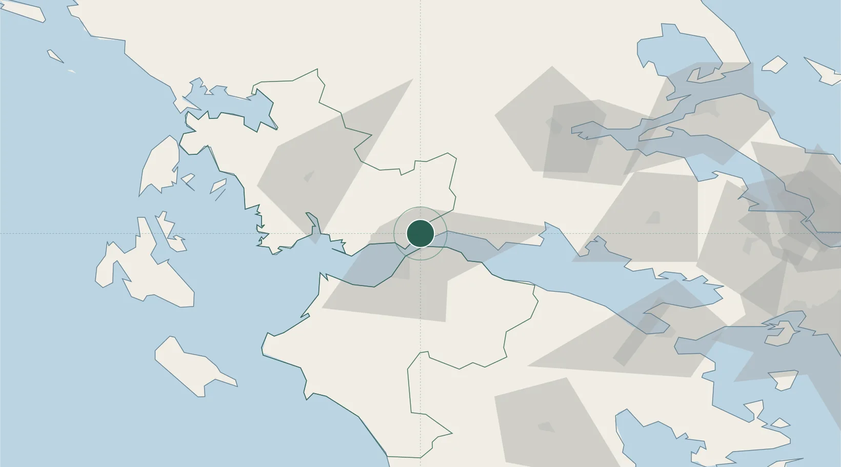
Location
Nearby Logistics Neighbours
Cities
- 1Drepano Riou8 km
- 2Evpálion9 km
- 3Andírrion9 km
- 4Kryonéri21 km
- 5Patras21 km
Ports
- 1Patrai19 km
- 2Aigio28 km
- 3Mesolongion37 km
- 4Itea51 km
- 5Astakos65 km
Airports
Trade Zones
- 1Free Zone of Platigiali (Astakos Etoloakarnanias)64 km
- 2Free Zone of Piraeus164 km
- 3Gjirokastër Freezone235 km
- 4Përmet Freezone241 km
- 5Korçë Freezone264 km
DatabookThe Record of Consolidated Knowledge
Greece beyond logistics?