UN/LOCODE hub · Greece
GRAGF

Agios Nikolaos Fokidas

38.3333°, 22.1500°
1
Transport functions

Transport Functions

Port
UN/LOCODE

Location

Location of GRAGF
Natural Earth 10m (public domain) · Dytiki Ellada · GRAGF · 38.33, 22.15GoogleOSMYandex

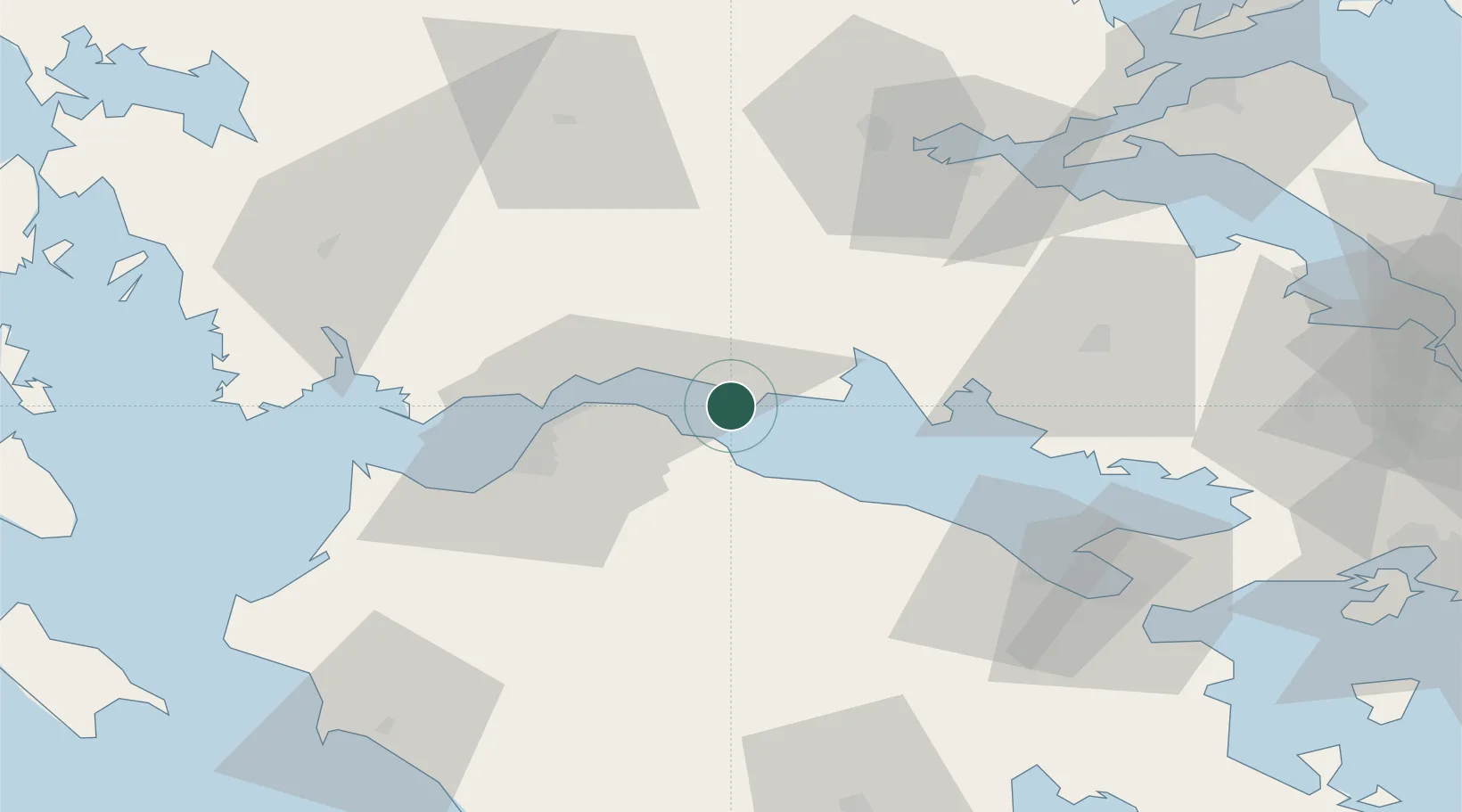
Nearby Logistics Neighbours

Cities
  1. 1Eratini8 km
  2. 2Aígion11 km
  3. 3Evpálion21 km
  4. 4Galaxidi21 km
  5. 5Itea26 km
Nearest neighbours — logibook spatial index (haversine) over the source coordinates
Ports
  1. 1Aigio11 km
  2. 2Itea26 km
  3. 3Patrai38 km
  4. 4Mesolongion64 km
  5. 5Achladi86 km
Nearest neighbours — logibook spatial index (haversine) over the source coordinates
Airports
  1. 1Patras Araxos Agamemnon Airport66 km
  2. 2Andravida Air Base88 km
  3. 3Nea Anchialos National Airport113 km
  4. 4Tanagra Air Base123 km
  5. 5Elefsis Air Base127 km
Nearest neighbours — logibook spatial index (haversine) over the source coordinates
Trade Zones
  1. 1Free Zone of Platigiali (Astakos Etoloakarnanias)93 km
  2. 2Free Zone of Piraeus135 km
  3. 3Gjirokastër Freezone258 km
  4. 4Përmet Freezone262 km
  5. 5Free Zone of Thessaloniki264 km
Nearest neighbours — logibook spatial index (haversine) over the source coordinates
DatabookThe Record of Consolidated Knowledge
Greece beyond logistics?
Browse databook

All Sources

LocationsUN/LOCODE
UN/LOCODE — free
Portsthe NGA World Port Index
Public domain (US gov)
AirportsOurAirports
Public domain
Trade Zonesthe World Bank SEZ database
CC BY 4.0
Trade ZonesOpen Zone Map
CC BY
← Greece locations