UN/LOCODE hub · Greece
GREVP

Evpálion

38.4167°, 21.9333°
2
Transport functions

Transport Functions

Road
Multimodal
UN/LOCODE

Hub Profile

Region
07
GeoNames

Location

Location of GREVP
Natural Earth 10m (public domain) · 07 · GREVP · 38.42, 21.93GoogleOSMYandex

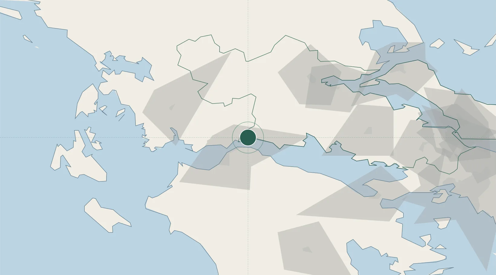
Nearby Logistics Neighbours

Cities
  1. 1Návpaktos9 km
  2. 2Drepano Riou12 km
  3. 3Andírrion17 km
  4. 4Agios Nikolaos Fokidas21 km
  5. 5Aígion23 km
Nearest neighbours — logibook spatial index (haversine) over the source coordinates
Ports
  1. 1Aigio23 km
  2. 2Patrai26 km
  3. 3Itea42 km
  4. 4Mesolongion45 km
  5. 5Astakos73 km
Nearest neighbours — logibook spatial index (haversine) over the source coordinates
Airports
  1. 1Patras Araxos Agamemnon Airport53 km
  2. 2Andravida Air Base79 km
  3. 3Aktion National Airport116 km
  4. 4Nea Anchialos National Airport116 km
  5. 5Zakynthos International Airport Dionysios Solomos118 km
Nearest neighbours — logibook spatial index (haversine) over the source coordinates
Trade Zones
  1. 1Free Zone of Platigiali (Astakos Etoloakarnanias)73 km
  2. 2Free Zone of Piraeus156 km
  3. 3Gjirokastër Freezone239 km
  4. 4Përmet Freezone244 km
  5. 5Free Zone of Thessaloniki261 km
Nearest neighbours — logibook spatial index (haversine) over the source coordinates
DatabookThe Record of Consolidated Knowledge
Greece beyond logistics?
Browse databook

All Sources

LocationsUN/LOCODE
UN/LOCODE — free
Portsthe NGA World Port Index
Public domain (US gov)
AirportsOurAirports
Public domain
Trade Zonesthe World Bank SEZ database
CC BY 4.0
Trade ZonesOpen Zone Map
CC BY
← Greece locations