Runway & Layout

Radio Frequencies
HIS
118.1 MHz
NANORTALIK HIS
Airport Specifications
IATA code
JNN
ICAO code
BGNN
Airport class
Heliport
Scheduled service
Yes
Served city
Nanortalik
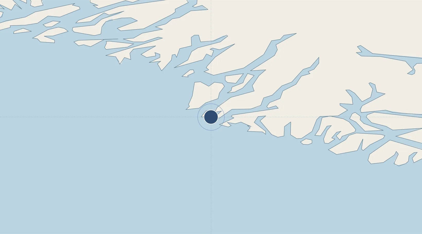
Location
Nearby Logistics Neighbours
Airports
- 1Tasiusaq Heliport24 km
- 2Narsarmijit Heliport35 km
- 3Alluitsup Paa Heliport40 km
- 4Ammassivik Heliport51 km
- 5Aappilattoq Heliport52 km
Cities
- 1Nalunaq Gold Mine26 km
- 2Beauly317 km
- 3Nuuk (Godthaab)562 km
- 4Seqi Olivine Mine626 km
- 5Toqqusaq635 km
Ports
- 1Nanortalik Havn3 km
- 2Qaqortoq78 km
- 3Narsaq97 km
- 4Narsarssuaq113 km
- 5Gronnedal (Kangilinnguit)198 km
Trade Zones
- 1Crossroads Business Park1380 km
- 2Cape Breton Regional Municipality Foreign Trade Zone1857 km
- 3FTZ No. 179 Madawaska2067 km
- 4Halifax Gateway2110 km
- 5Saint John2150 km
DatabookThe Record of Consolidated Knowledge
Greenland beyond logistics?