Runway & Layout

Airport Specifications
IATA code
QUW
ICAO code
BGAS
Airport class
Heliport
Scheduled service
Yes
Served city
Ammassivik
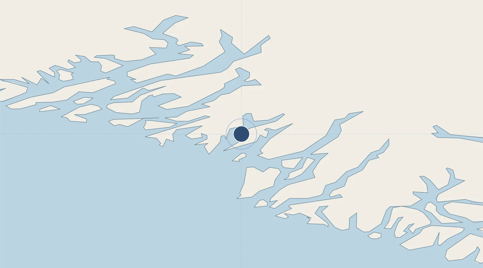
Location
Nearby Logistics Neighbours
Airports
- 1Alluitsup Paa Heliport18 km
- 2Eqalugaarsuit Heliport29 km
- 3Saarloq Heliport36 km
- 4Qaqortoq Heliport38 km
- 5Igaliku Heliport44 km
Cities
- 1Nalunaq Gold Mine40 km
- 2Beauly367 km
- 3Nuuk (Godthaab)516 km
- 4Seqi Olivine Mine578 km
- 5Toqqusaq588 km
Ports
- 1Qaqortoq38 km
- 2Narsaq51 km
- 3Nanortalik Havn54 km
- 4Narsarssuaq62 km
- 5Gronnedal (Kangilinnguit)163 km
Trade Zones
- 1Crossroads Business Park1420 km
- 2Cape Breton Regional Municipality Foreign Trade Zone1891 km
- 3FTZ No. 179 Madawaska2089 km
- 4Halifax Gateway2141 km
- 5Saint John2177 km
DatabookThe Record of Consolidated Knowledge
Greenland beyond logistics?