Heliport · Greenland
Alluitsup Paa HeliportBGAP
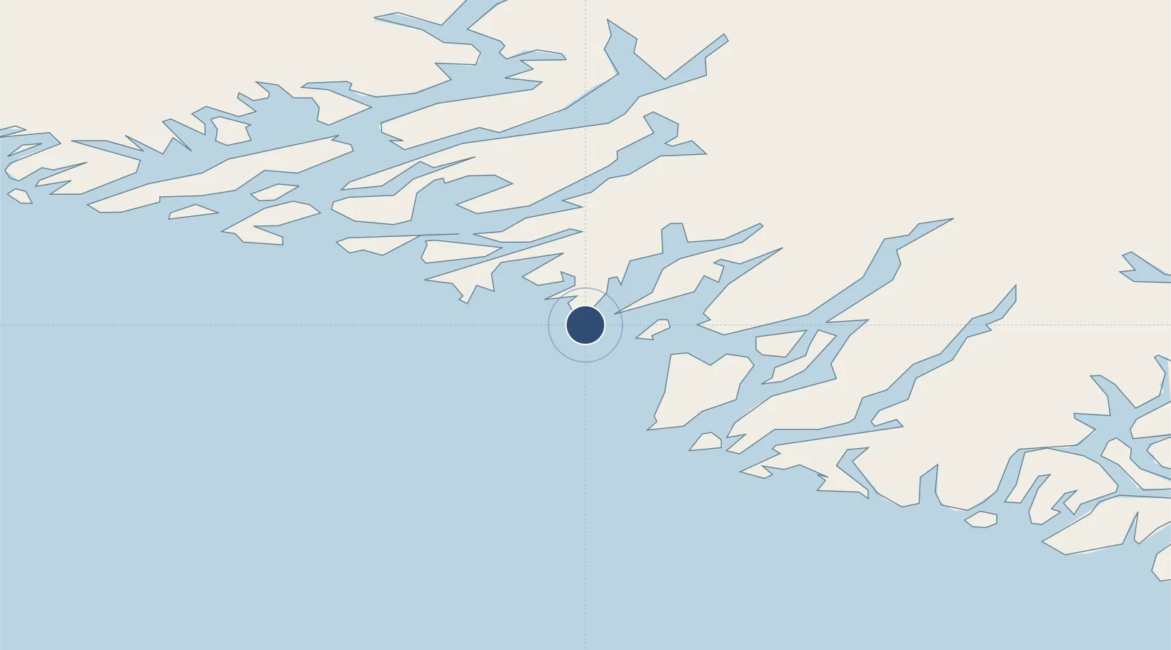
60.4644°, -45.5692°
197 ft
Longest runway
1
Runways
54 ft
Elevation
Runway & Layout

Runways · 1
| Runway | Dimensions | Surface | True heading | Lit |
|---|---|---|---|---|
| H1 | 197 × 66ft | Asphalt | — | — |
Airport Specifications
IATA code
LLU
ICAO code
BGAP
Airport class
Heliport
Scheduled service
Yes
Runway surface
Asphalt
Served city
Alluitsup Paa
Location
Nearby Logistics Neighbours
Airports
- 1Ammassivik Heliport18 km
- 2Eqalugaarsuit Heliport26 km
- 3Saarloq Heliport26 km
- 4Qaqortoq Heliport38 km
- 5Nanortalik Heliport40 km
Cities
- 1Nalunaq Gold Mine39 km
- 2Beauly357 km
- 3Nuuk (Godthaab)522 km
- 4Seqi Olivine Mine586 km
- 5Toqqusaq595 km
Ports
- 1Qaqortoq38 km
- 2Nanortalik Havn44 km
- 3Narsaq57 km
- 4Narsarssuaq77 km
- 5Gronnedal (Kangilinnguit)162 km
Trade Zones
- 1Crossroads Business Park1402 km
- 2Cape Breton Regional Municipality Foreign Trade Zone1873 km
- 3FTZ No. 179 Madawaska2072 km
- 4Halifax Gateway2124 km
- 5Saint John2160 km
DatabookThe Record of Consolidated Knowledge
Greenland beyond logistics?