Runway & Layout

Airport Specifications
IATA code
QFN
ICAO code
BGFD
Airport class
Heliport
Scheduled service
Yes
Served city
Narsarmijit
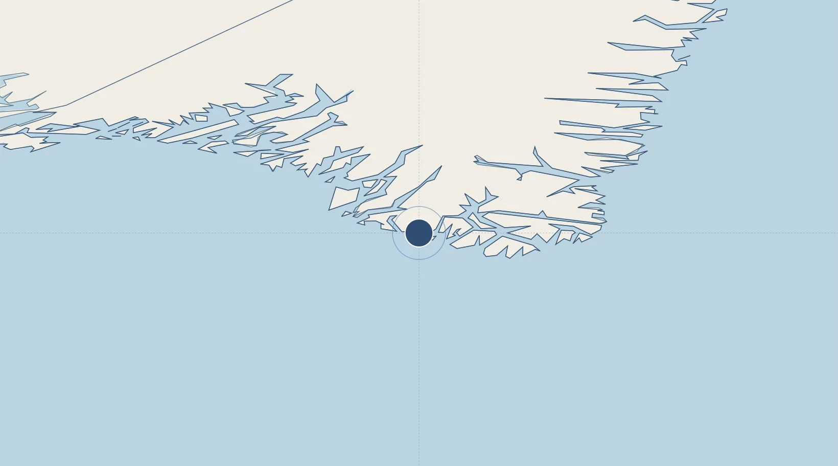
Location
Nearby Logistics Neighbours
Airports
- 1Tasiusaq Heliport23 km
- 2Aappilattoq Heliport26 km
- 3Nanortalik Heliport35 km
- 4Alluitsup Paa Heliport72 km
- 5Ammassivik Heliport77 km
Cities
- 1Nalunaq Gold Mine38 km
- 2Beauly292 km
- 3Nuuk (Godthaab)593 km
- 4Seqi Olivine Mine655 km
- 5Toqqusaq665 km
Ports
- 1Nanortalik Havn33 km
- 2Qaqortoq110 km
- 3Narsaq127 km
- 4Narsarssuaq134 km
- 5Gronnedal (Kangilinnguit)232 km
Trade Zones
- 1Crossroads Business Park1383 km
- 2Cape Breton Regional Municipality Foreign Trade Zone1866 km
- 3FTZ No. 179 Madawaska2086 km
- 4Halifax Gateway2121 km
- 5Saint John2164 km
DatabookThe Record of Consolidated Knowledge
Greenland beyond logistics?