Channel & Berth Profile
Pilotage, Tugs & Services
Pilotage compulsoryNO
Pilotage availableYES
Pilotage advisableYES
Tug assistanceNO
Salvage tugsNO
Potable waterYES
Diesel bunkersYES
MedicalYES
Garbage disposalYES
Facilities & Capabilities
ContainerYES
Ro-Ro—
Liquid bulk—
Dry bulk—
Oil terminal—
Break bulkYES
Dry dock—
RepairsNO
BunkeringNO
Rail link—
Dangerous cargo—
ISPS securityYES
Harbour Specifications
Harbour size
Very Small
Harbour type
Coastal (Natural)
Shelter
Poor
Water body
Labrador Sea; North Atlantic Ocean
Tidal range
3 m
Overhead limit
No
Pilotage
No
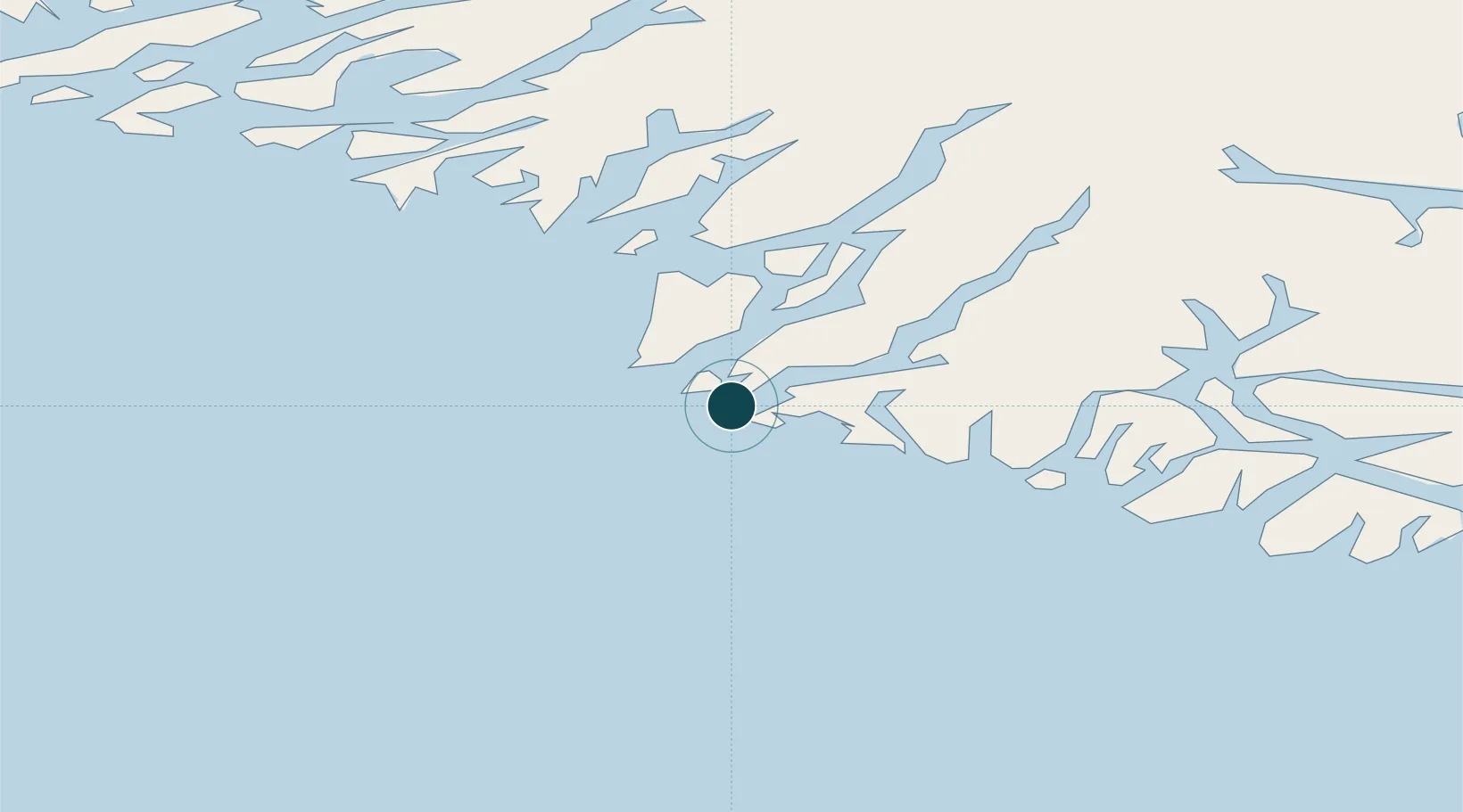
Location
Nearby Logistics Neighbours
Ports
- 1Qaqortoq81 km
- 2Narsaq100 km
- 3Narsarssuaq116 km
- 4Gronnedal (Kangilinnguit)201 km
- 5Paamuit (Frederikshab)319 km
Cities
- 1Nalunaq Gold Mine27 km
- 2Beauly314 km
- 3Nuuk (Godthaab)565 km
- 4Seqi Olivine Mine630 km
- 5Toqqusaq638 km
Airports
- 1Nanortalik Heliport3 km
- 2Tasiusaq Heliport23 km
- 3Narsarmijit Heliport33 km
- 4Alluitsup Paa Heliport44 km
- 5Aappilattoq Heliport51 km
Trade Zones
- 1Crossroads Business Park1378 km
- 2Cape Breton Regional Municipality Foreign Trade Zone1856 km
- 3FTZ No. 179 Madawaska2067 km
- 4Halifax Gateway2109 km
- 5Saint John2149 km
DatabookThe Record of Consolidated Knowledge
Greenland beyond logistics?