Runway & Layout

Airport Specifications
IATA code
XEQ
ICAO code
BGTQ
Airport class
Heliport
Scheduled service
Yes
Served city
Tasiusak
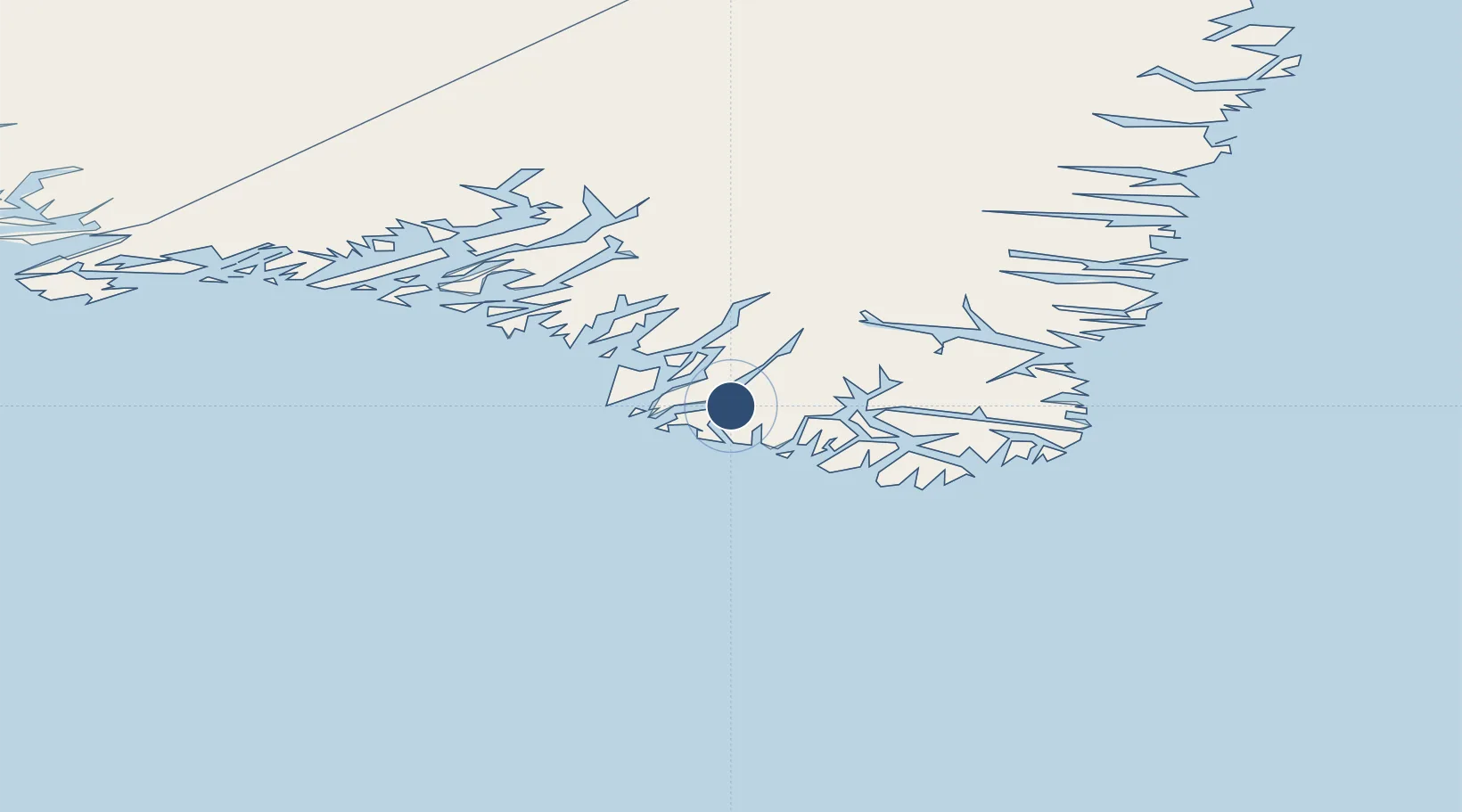
Location
Nearby Logistics Neighbours
Airports
- 1Narsarmijit Heliport23 km
- 2Nanortalik Heliport24 km
- 3Aappilattoq Heliport30 km
- 4Alluitsup Paa Heliport51 km
- 5Ammassivik Heliport55 km
Cities
- 1Nalunaq Gold Mine15 km
- 2Beauly315 km
- 3Nuuk (Godthaab)571 km
- 4Seqi Olivine Mine633 km
- 5Toqqusaq642 km
Ports
- 1Nanortalik Havn23 km
- 2Qaqortoq89 km
- 3Narsaq105 km
- 4Narsarssuaq112 km
- 5Gronnedal (Kangilinnguit)213 km
Trade Zones
- 1Crossroads Business Park1397 km
- 2Cape Breton Regional Municipality Foreign Trade Zone1876 km
- 3FTZ No. 179 Madawaska2090 km
- 4Halifax Gateway2130 km
- 5Saint John2171 km
DatabookThe Record of Consolidated Knowledge
Greenland beyond logistics?