Transport Functions
Multimodal
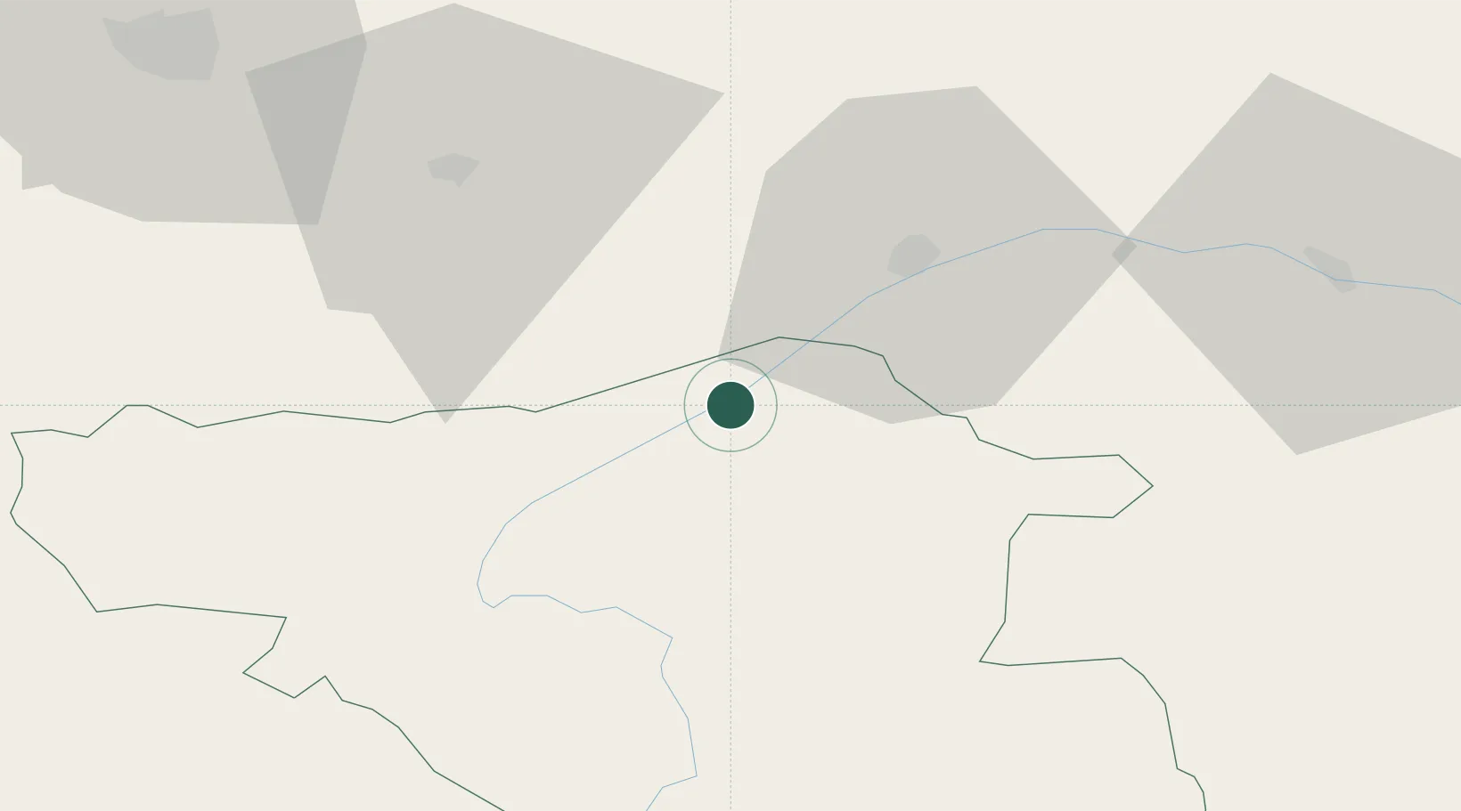
Hub Profile
Place type
Provincial seat
Region
Samtskhe-Javakheti
Population
11,248
Time zone
Asia/Tbilisi
Elevation
802 m
Location
Nearby Logistics Neighbours
Cities
- 1Khashuri25 km
- 2Shorapani36 km
- 3Zestap'oni40 km
- 4Akhalts'ikhe40 km
- 5Kareli49 km
Ports
- 1Supsa Marine Terminal140 km
- 2Batumi144 km
- 3Hopa170 km
- 4Sokhumi234 km
- 5Rize252 km
Airports
- 1Ambrolauri Airport79 km
- 2David the Builder Kutaisi International Airport82 km
- 3Natakhtari Airfield112 km
- 4Senaki Air Base118 km
- 5Tbilisi Marneuli Air Base125 km
Trade Zones
DatabookThe Record of Consolidated Knowledge
Georgia beyond logistics?