Transport Functions
Rail
Road
Hub Profile
Place type
Populated place
Region
England
Time zone
Europe/London
Elevation
123 m
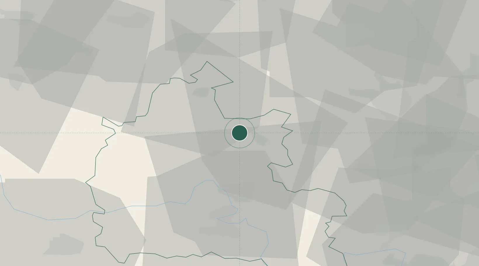
Location
Nearby Logistics Neighbours
Cities
- 1Bradfield7 km
- 2Tendring10 km
- 3Yarnton16 km
- 4Enstone16 km
- 5Cassington19 km
Ports
- 1Sharpness90 km
- 2London92 km
- 3Bristol111 km
- 4Avonmouth114 km
- 5Southampton116 km
Airports
- 1London Oxford Airport13 km
- 2RAF Brize Norton32 km
- 3RAF Benson36 km
- 4Cranfield Airport44 km
- 5RAF Fairford48 km
DatabookThe Record of Consolidated Knowledge
United Kingdom beyond logistics?