Transport Functions
Multimodal
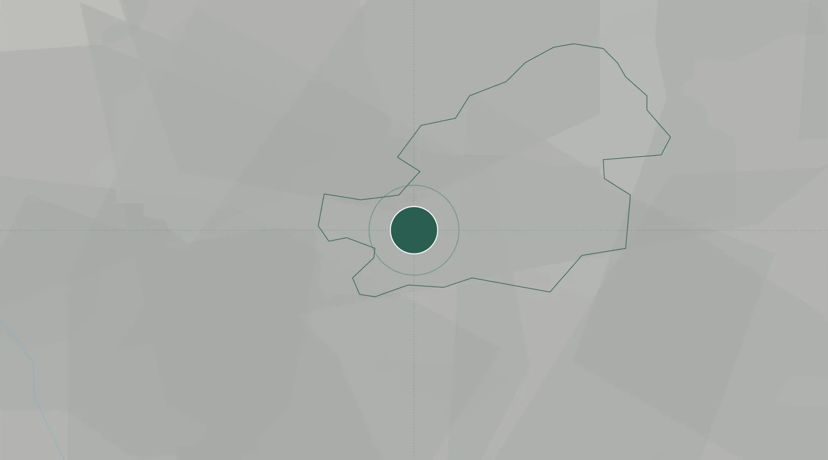
Hub Profile
Place type
Populated place
Region
England
Time zone
Europe/London
Elevation
152 m
Location
Nearby Logistics Neighbours
Cities
- 1Kings Norton4 km
- 2Longbridge/Birmingham4 km
- 3Balsall Heath5 km
- 4Blackheath7 km
- 5Rowley Regis/West Bromwich7 km
Ports
- 1Sharpness88 km
- 2Avonmouth116 km
- 3Bristol117 km
- 4Manchester119 km
- 5Bird Port119 km
Airports
- 1Birmingham Airport14 km
- 2Coventry Airport33 km
- 3RAF Cosford33 km
- 4East Midlands Airport61 km
- 5Gloucestershire Airport62 km
Trade Zones
DatabookThe Record of Consolidated Knowledge
United Kingdom beyond logistics?