UN/LOCODE hub · United Kingdom
GBRYR

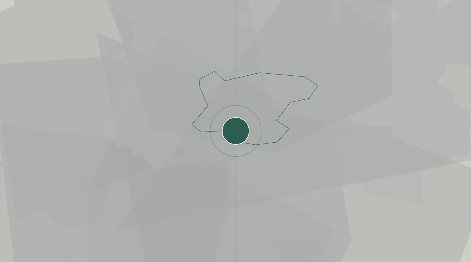
Rowley Regis/West Bromwich

52.4796°, -2.0247°
2
Transport functions

Transport Functions

Rail
Road
UN/LOCODE

Hub Profile

Region
SAW
GeoNames
Logistics facilities
1
UN/LOCODE

Location

Location of GBRYR
Natural Earth 10m (public domain) · SAW · GBRYR · 52.48, -2.02GoogleOSMYandex

Nearby Logistics Neighbours

Cities
  1. 1Blackheath2 km
  2. 2Bradenham4 km
  3. 3Tividale5 km
  4. 4Handsworth7 km
  5. 5Selly Oak7 km
Nearest neighbours — logibook spatial index (haversine) over the source coordinates
Ports
  1. 1Sharpness90 km
  2. 2Manchester113 km
  3. 3Garlston113 km
  4. 4Avonmouth119 km
  5. 5Bristol120 km
Nearest neighbours — logibook spatial index (haversine) over the source coordinates
Airports
  1. 1Birmingham Airport19 km
  2. 2RAF Cosford26 km
  3. 3Coventry Airport39 km
  4. 4RAF Shawbury56 km
  5. 5East Midlands Airport61 km
Nearest neighbours — logibook spatial index (haversine) over the source coordinates
Trade Zones
  1. 1Birmingham City Centre Enterprise Zone8 km
  2. 2Black Country Enterprise Zone10 km
  3. 3Mira Technology Park38 km
  4. 4Infinity Park Derby Enterprise Zone58 km
  5. 5Loughborough Leicester Enterprise Zone63 km
Nearest neighbours — logibook spatial index (haversine) over the source coordinates
DatabookThe Record of Consolidated Knowledge
United Kingdom beyond logistics?
Browse databook

All Sources

LocationsUN/LOCODE
UN/LOCODE — free
Portsthe NGA World Port Index
Public domain (US gov)
AirportsOurAirports
Public domain
Trade Zonesthe World Bank SEZ database
CC BY 4.0
Trade ZonesOpen Zone Map
CC BY
← United Kingdom locations