Transport Functions
Road
Multimodal
Hub Profile
Place type
Populated place
Region
England
Time zone
Europe/London
Elevation
156 m
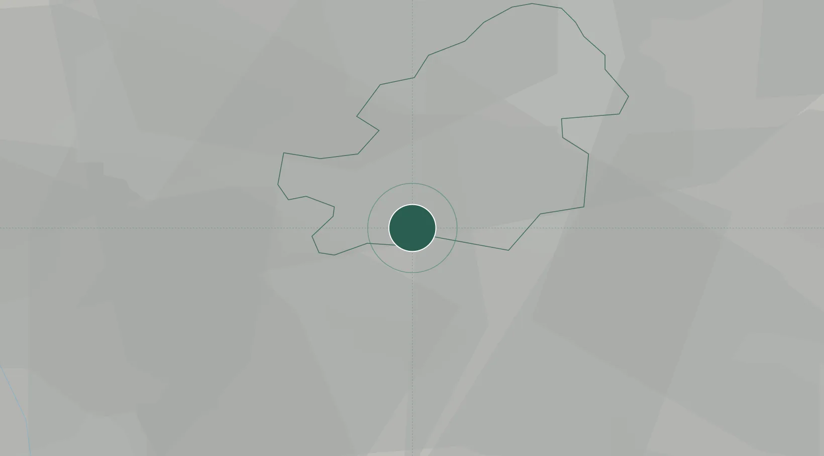
Location
Nearby Logistics Neighbours
Cities
- 1Selly Oak4 km
- 2Longbridge/Birmingham5 km
- 3Balsall Heath6 km
- 4Small Heath9 km
- 5Tyseley9 km
Airports
- 1Birmingham Airport13 km
- 2Coventry Airport30 km
- 3RAF Cosford38 km
- 4Gloucestershire Airport59 km
- 5East Midlands Airport62 km
Trade Zones
DatabookThe Record of Consolidated Knowledge
United Kingdom beyond logistics?