Transport Functions
Rail
Road
Hub Profile
Region
BIR
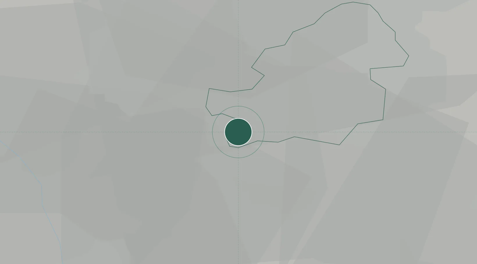
Location
Nearby Logistics Neighbours
Cities
- 1Selly Oak4 km
- 2Kings Norton5 km
- 3Blackheath8 km
- 4Balsall Heath9 km
- 5Rowley Regis/West Bromwich9 km
Airports
- 1Birmingham Airport17 km
- 2Coventry Airport34 km
- 3RAF Cosford35 km
- 4Gloucestershire Airport58 km
- 5RAF Shawbury64 km
Trade Zones
DatabookThe Record of Consolidated Knowledge
United Kingdom beyond logistics?