Transport Functions
Rail
Road
Hub Profile
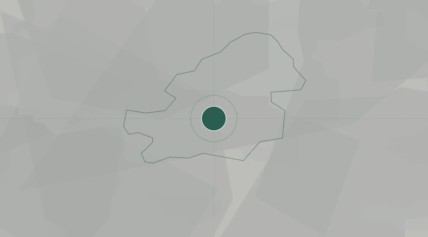
Region
BIR
Location
Nearby Logistics Neighbours
Cities
- 1Small Heath5 km
- 2Tyseley5 km
- 3Selly Oak5 km
- 4Perry Barr6 km
- 5Hockley6 km
Ports
- 1Sharpness91 km
- 2Manchester118 km
- 3Avonmouth120 km
- 4Bristol121 km
- 5Garlston121 km
Airports
- 1Birmingham Airport9 km
- 2Coventry Airport29 km
- 3RAF Cosford36 km
- 4East Midlands Airport57 km
- 5Gloucestershire Airport65 km
Trade Zones
DatabookThe Record of Consolidated Knowledge
United Kingdom beyond logistics?