Transport Functions
Rail
Road
Hub Profile
Place type
Populated place
Region
England
Time zone
Europe/London
Elevation
186 m
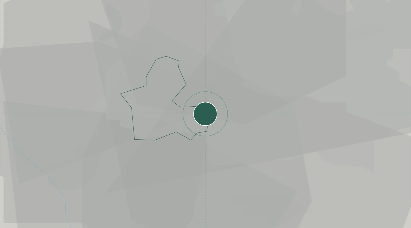
Location
Nearby Logistics Neighbours
Cities
- 1Rowley Regis/West Bromwich2 km
- 2Bradenham5 km
- 3Tividale6 km
- 4Selly Oak7 km
- 5Handsworth8 km
Ports
- 1Sharpness89 km
- 2Manchester114 km
- 3Garlston114 km
- 4Avonmouth117 km
- 5Bristol119 km
Airports
- 1Birmingham Airport19 km
- 2RAF Cosford27 km
- 3Coventry Airport39 km
- 4RAF Shawbury57 km
- 5East Midlands Airport63 km
Trade Zones
DatabookThe Record of Consolidated Knowledge
United Kingdom beyond logistics?